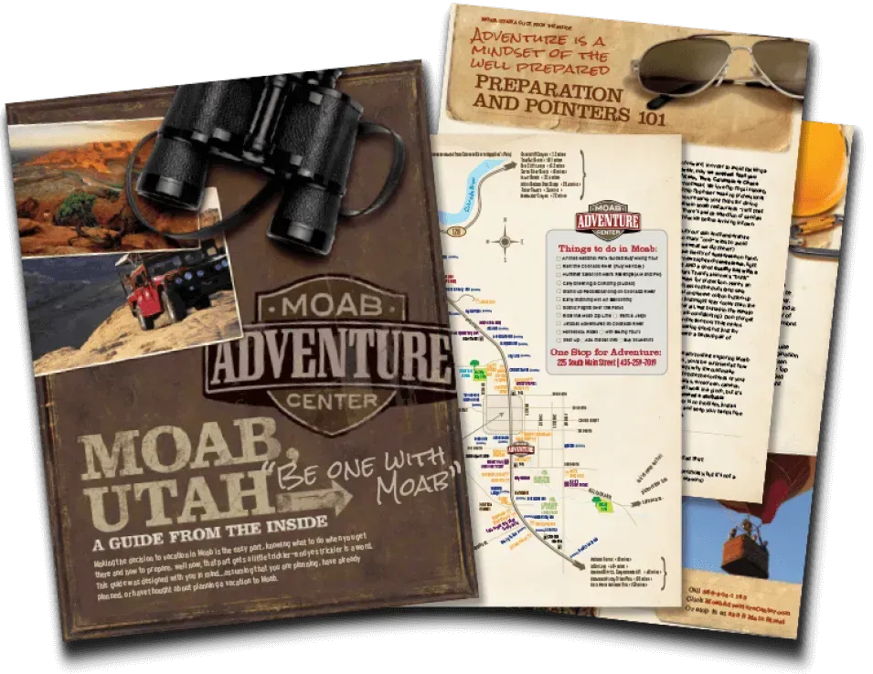
MOAB, UTAH

Best Trails in the Manti–La Sal National Forest
Few places in Utah offer the contrast you’ll find in the
La Sal Mountains. In less than an hour, you can leave Moab’s desert heat behind and hike through cool forests and flower-filled meadows. Whether you’re summiting peaks or strolling around mountain lakes, hiking in the
Manti–La Sal National Forest is the perfect way to see Moab from a whole new perspective.
Tips for Hiking in the La Sal Mountains
Check for Weather & Access: Trails above 10,000 feet may hold snow into early summer. Always check Manti–La Sal National Forest weather before heading out. Manti–La Sal National Forest Weather Information
Bring Layers: Temperatures can drop 30°F between Moab and higher elevations.
Leave No Trace: Pack out trash and respect wildlife and trail conditions.
Vehicle Note:
Many trailheads (like Burro Pass or Geyser Pass) require high-clearance or 4WD vehicles.
Planning Your Hike: Trailheads & Access Points
Warner Lake Campground: Great base for several loop trails.
Geyser Pass Trailhead:
Access to Burro Pass and Mount Peale routes.
Oowah Lake Campground: Easy lakeside hikes and picnic area.
Maps: Manti–La Sal National Forest Map Information
Burro Pass Trail
5+ Miles | Strenuous | 1.5 Hrs
Though primarily used by mountain bikers to begin the epic "Whole Enchilada" route, hikers can explore this steep, rugged route through dense aspen and fir forests. Expect wildflowers in summer, snow patches well into early season, and the occasional biker flying down the narrow, technical descent.
Hazard County Trail
5+ Miles | Strenuous | 1.5 Hrs
Though primarily used by mountain bikers to begin the epic "Whole Enchilada" route, hikers can explore this steep, rugged route through dense aspen and fir forests. Expect wildflowers in summer, snow patches well into early season, and the occasional biker flying down the narrow, technical descent.
Warner Lake to Oowah Lake
2 Miles | Moderate | 1.5 Hrs
The scenic trail between Warner Lake and Oowah Lake in the La Sal Mountains offers a peaceful forested hike with alpine views, wildflowers, and cool summer temperatures. The path winds through aspen and pine, crossing streams and meadows, with occasional glimpses of red rock canyons far below. At around 4 miles one-way, it’s moderate in difficulty and a refreshing escape from Moab’s desert heat.
Oowah Lake to Clark Lake
3 Miles | Strenuous | 1.5 Hrs
The trail between Oowah Lake and Clark Lake in the La Sal Mountains is a serene 2.5-mile route through shady pine and aspen forests. Gently climbing at first, the trail opens to meadows and scenic overlooks before reaching the quiet, less-visited Clark Lake. It's a moderate hike with minimal traffic, offering solitude, and wildlife sightings.
What Else is on Your Moab Play List?
After some exploring on your own, you may want to explore even further. Guided tours make it possible (and easy) to get soaked on the river, rappel down a rope to a hidden slot canyon, or climb to the "top of the world" on a Hell's Revenge Hummer Tour.


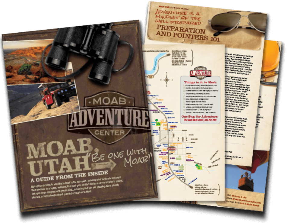
GET THE FREE MOAB INSIDER'S GUIDE!
BECOME A MOAB INSIDER
With our Moab Insider's Gide and email series, you'll get local tips on the best dishes at restaurants, hidden adventures that most people miss, tips on when to visit, and a few more secrets on the side. Get all the essentials for the perfect Moab experience.
Free. Instant download. Unsubscribe anytime.
⭐️⭐️⭐️⭐️⭐️ 7,000+ 5-Star Reviews | 22-Time Best of State Winner


