MOAB, UTAH

Moab Mountain Bike Trails
Mountain Biking in Moab: A Guided Overview
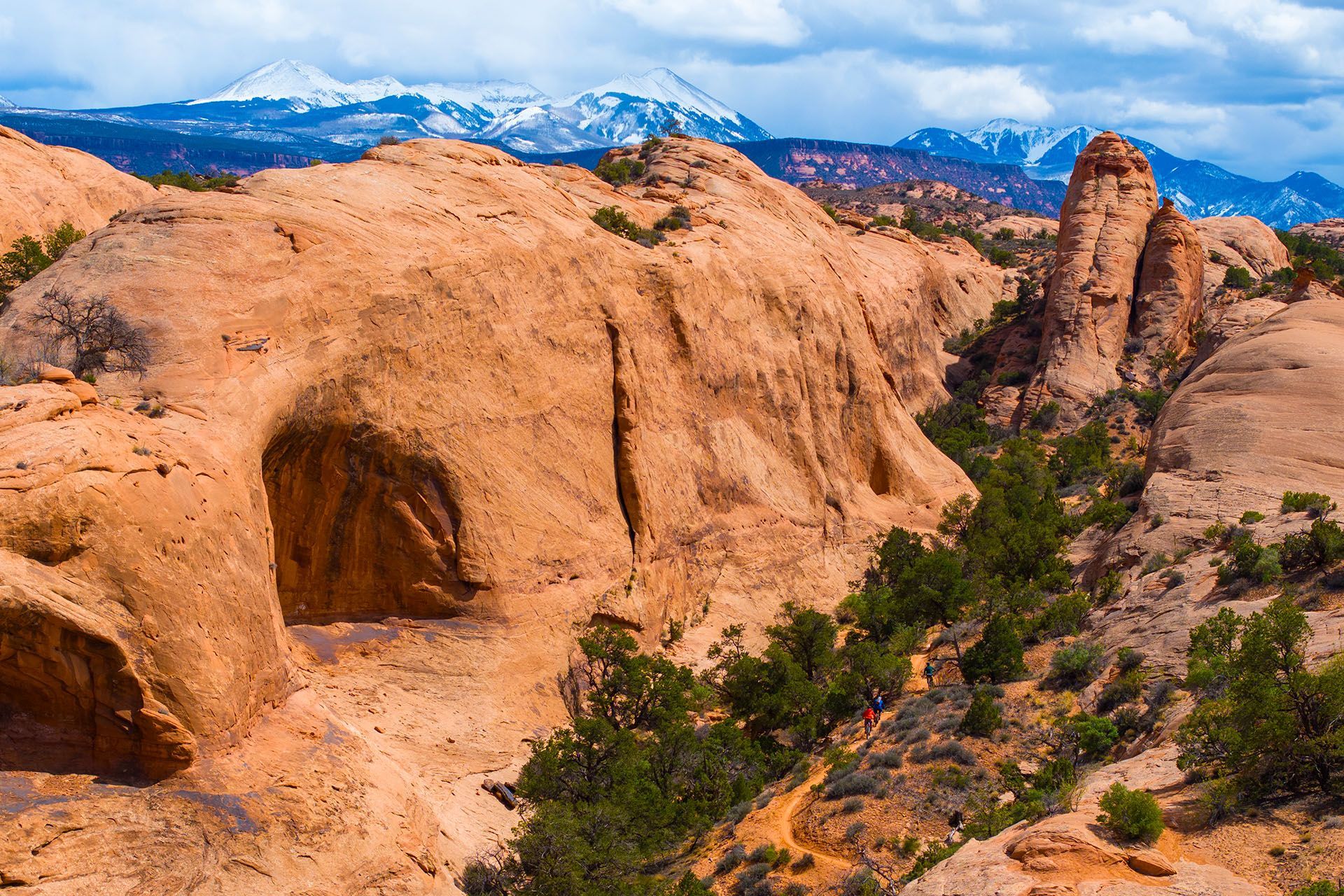
Moab, Utah, isn’t just another dot on the
mountain biking map—it’s the crown jewel. Riders from around the world come here for over 200 miles of iconic trails - from smooth paved city trails, to beginner-friendly slickrock loops, to legendary technical descents that test even the pros. Whether you’re pedaling with the kids, chasing adrenaline, or just looking for that “wow” moment in red rock country, Moab delivers.
But here’s the thing: Moab biking takes more than showing up with a bike and a sense of adventure. Trail systems stretch for miles, conditions can change fast, and not every ride is family-friendly. The good news? With the right maps, guides, and local know-how, you’ll spend less time second-guessing and more time grinning on the trail. Here’s everything you need to know to plan the perfect two-wheeled adventure in Moab.
Popular Bike Trails & Routes in Moab
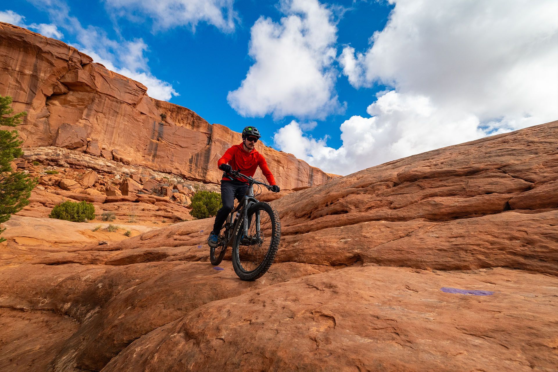
The Truth About the Slickrock Trail
The world-famous Slickrock Trail is a legend in the mountain biking world. It’s the ride everyone has heard about—the one plastered across bike magazines and video highlight reels. And while it’s definitely iconic, it’s also notoriously challenging. Endless climbs and steep descents on grippy sandstone make it a test piece for experienced riders, but maybe not the best first taste of Moab’s biking scene.
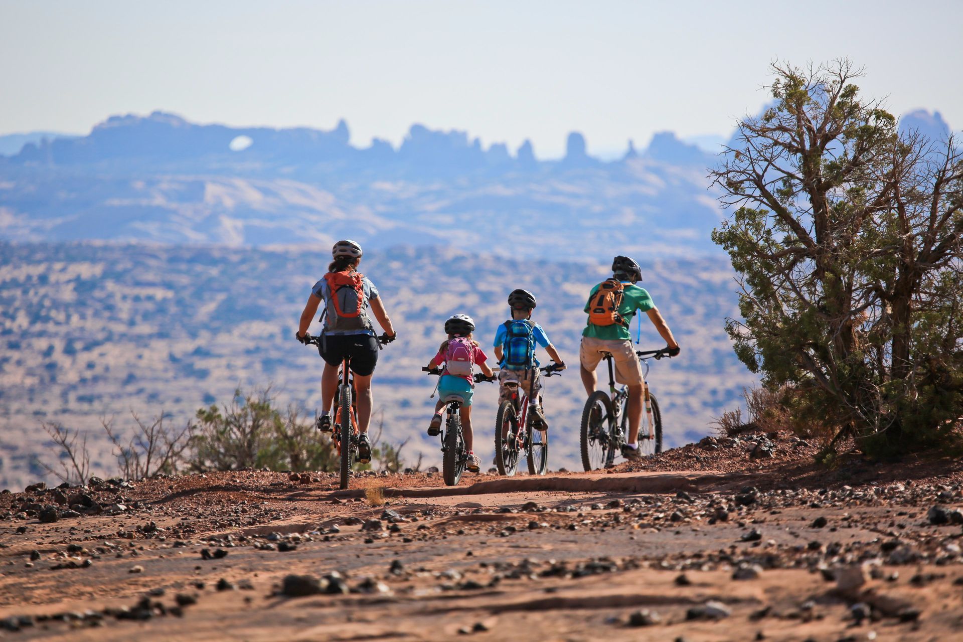
If you’re new to mountain biking - or just new to Moab - you’ll find better trail options to start with (think Klonzo, Navajo Rocks, or Dead Horse Point trails). These offer the same stunning red rock scenery, but with a friendlier learning curve and more chances to actually enjoy the ride.
So should Slickrock be on your list? Absolutely. But think of it as a milestone trail - something to build toward rather than your first spin in Moab. After all, with more than 200 miles of terrain here, there’s no shortage of ways to earn that bucket-list ride when the time is right.
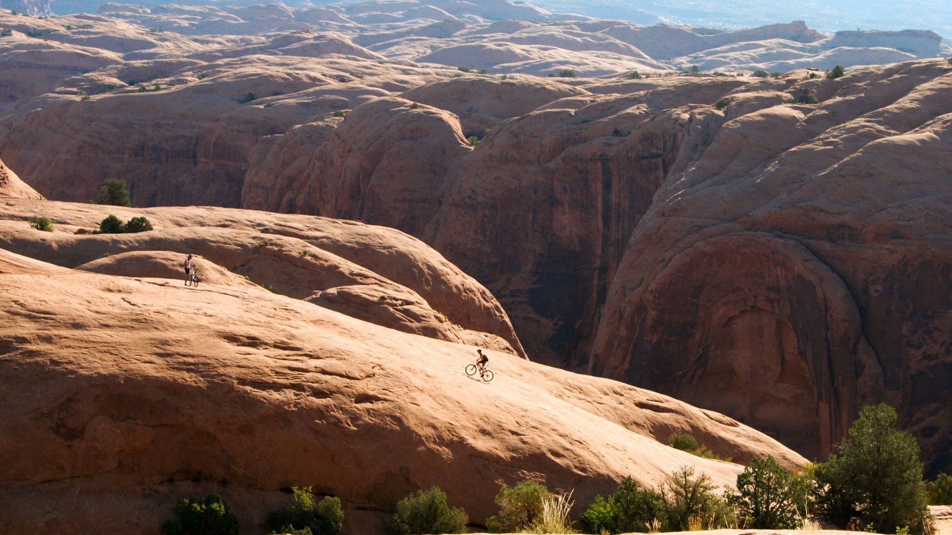
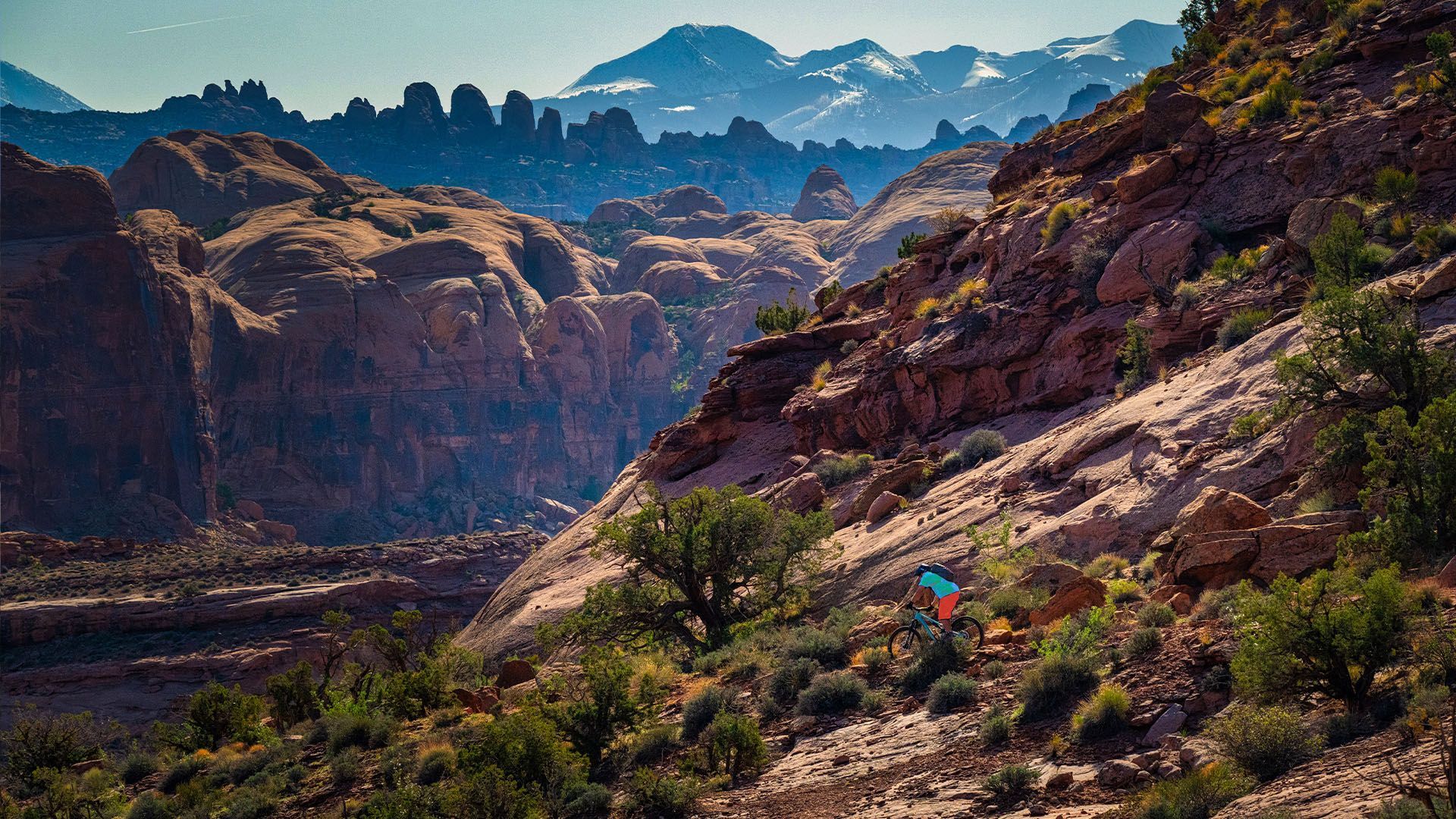
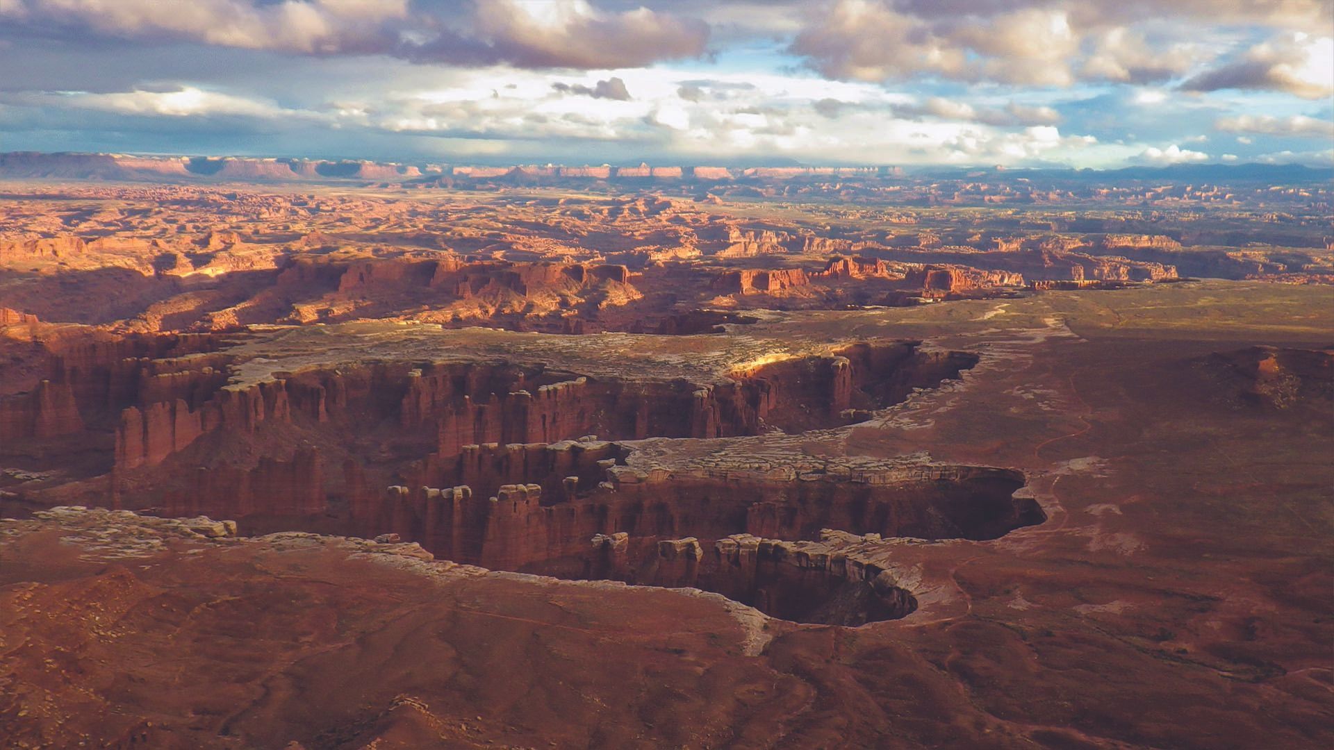
Moab Mountain Bike Trails: More than 200 Miles of Bliss
Drop a pin anywhere around Moab, and odds are you’ll land on a world-class bike trail. But here’s the catch: those trails don’t all ride the same. Take a wrong turn and you might end up grinding up a double-black descent, missing a key connector, or realizing - three miles too late - that a shuttle would’ve saved your legs.
This guide is here to point you toward the right ride, the first time. And if you’d rather skip the logistics altogether? A guided mountain biking tour takes care of it all - the bikes, the shuttles, the gear, and the know-how - so you can focus on the ride, not the details.

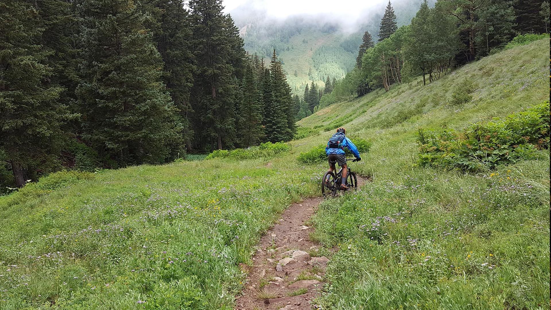
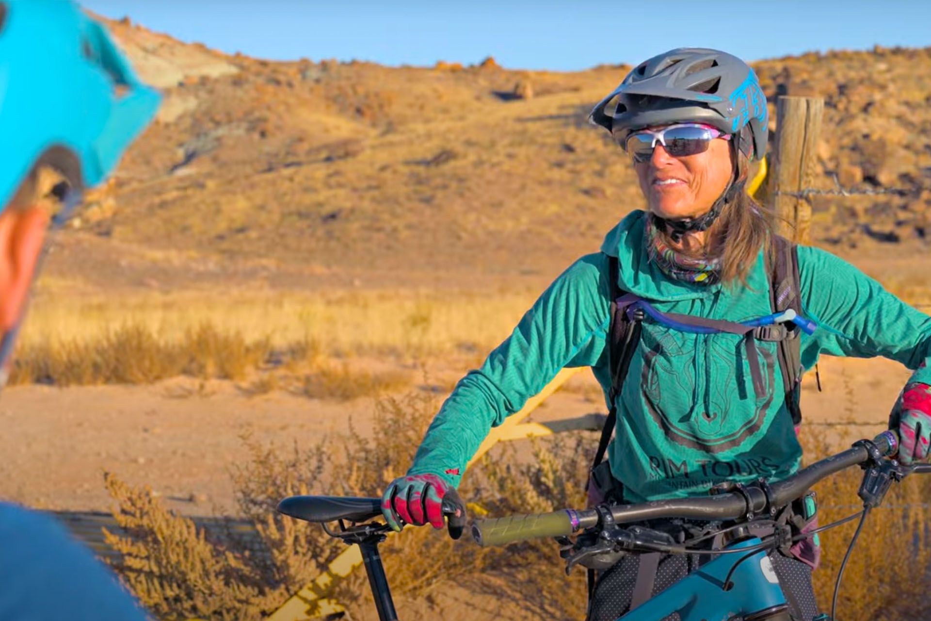
Make it Easy with a Bike Tour: Expert Guide, Shuttle & Bike Rental
Everything you need for the perfect ride comes bundled together: a shuttle to the trailhead, a high-quality bike with helmet, water and snacks for the journey, and a local guide who quickly feels like a friend. No puzzling over maps or worrying about logistics. You’ll be free to focus on the good stuff—rolling over slickrock, soaking in red rock vistas, and collecting the kind of stories you’ll still be telling long after the ride is over.
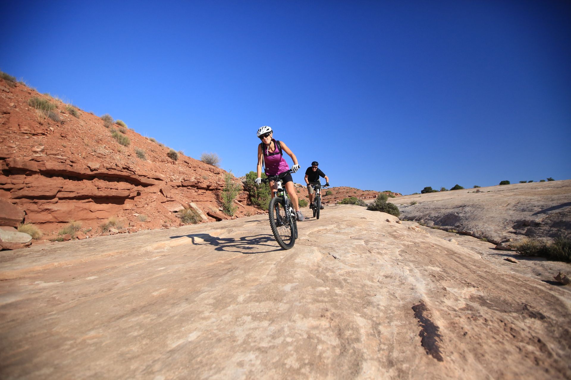
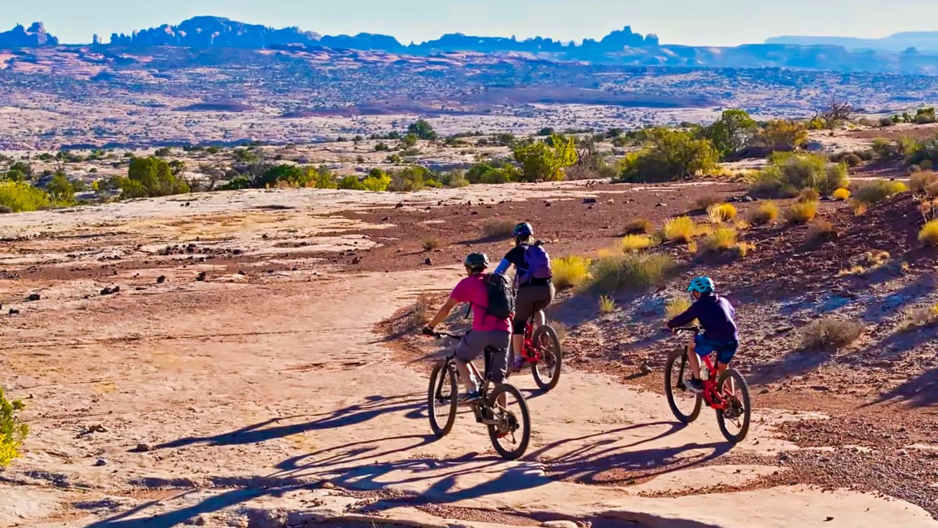
Best Bike Trails in Moab: Easy to Advanced
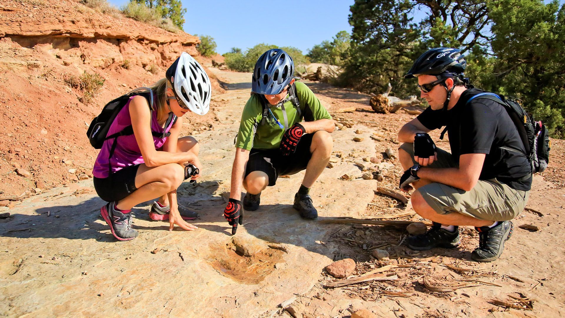
If you are looking for self-guided mountain biking in Moab, you have plenty of trails to choose from, and some great resources and maps for planning your adventure. Below is a quick list of the top bike trails in Moab with links to the MTB Project that has teamed up with the local Bureau of Land Management to make the trails in Moab accessible to all ability levels. While you're visiting Moab, be sure to treat the land like you live here.
Courthouse Loop "Moab Brands Trails" - Easy to Intermediate
- Best for: All skill levels
- Iconic Trails: Rusty Spur (1.3 miles, Beginner) Bar M Loop (7.9 miles, Beginner/Intermediate) Deadman’s Ridge (3.5 miles, Advanced)
- Available as a Guided Tour
Need to Know: Closest major trail system to town, mix of singletrack and slickrock. Best for mixed group of riding experience.
The Raptor Route - Intermediate
- Best for: Intermediate to Advanced riders
- Iconic Trails: Eagle Eye, Falcon Flow, Kestrel Run
Need to Know: Sand Flats Recreation Area—entry fee required. Fast, flowy descent. Best ridden as a shuttle. One of the most fun intermediate descents in Moab. E-bikes not allowed.
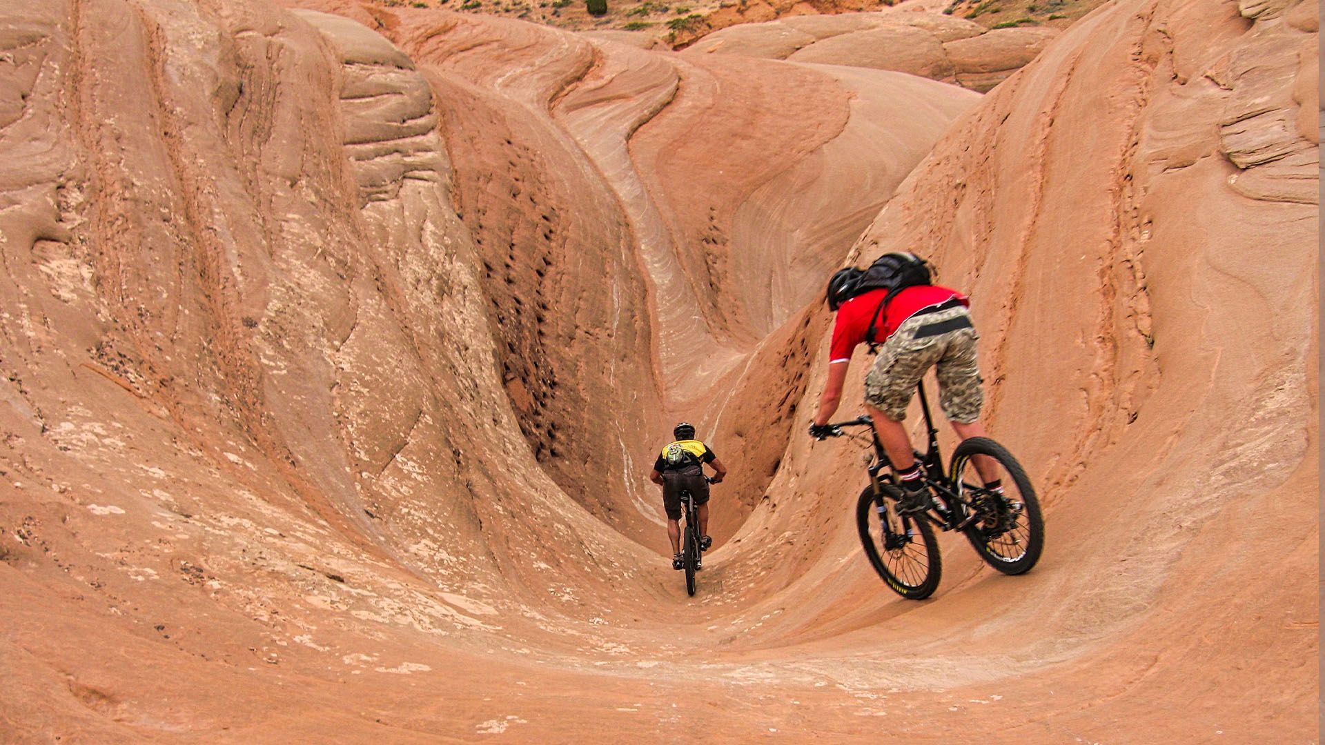
Slickrock Trail - Difficult
- Best for: Advanced riders only
- Iconic Trails: Slickrock Bike Trail Loop (10.5 miles, Advanced), Practice Loop (2.3 miles, Intermediate)
Need to Know: Sand Flats Recreation Area—entry fee required. A Moab classic and bucket-list ride, famous for its grippy sandstone and relentless ups and downs. Not e-bike friendly. Bring plenty of water and don’t underestimate the physical toll—even seasoned riders find it humbling.
The Whole Enchilada - Difficult
- Features: Over 7,000 ft descent from LaSals to Colorado River
- Trailhead: Burro Pass (requires a shuttle)
- Best for: Advanced riders only
- Iconic Trails: Burro Pass, Hazard County, Porcupine Rim
Need to Know: Moab’s ultimate epic ride. Usually only fully rideable July–October due to snow at higher elevations.
Porcupine Rim Trail: Difficult
This is the longest trail in the Whole Enchilada route.
- Features: Expansive views, techy sections, longest part of Enchilada
- Trailhead: Top of Sand Flats Rd. UPS/LPS trails (best as shuttle)
- Best for: Advanced riders only
Need to Know: Shuttle ride only via Sand Flats Road
Navajo Rocks - Easy to Intermediate
- Best for: Intermediate to Advanced riders
- Iconic Trails: Big Mesa (2.5 miles, Intermediate) Ramblin’ (4.5 miles, Advanced) Coney Island (3.0 miles, Intermediate)
Need to Know: A loop-style network with flowing singletrack and long stretches of grippy slickrock. Sweeping views and classic Moab terrain. No fee required. E-bike friendly. Often ridden as a loop (about 12–17 miles depending on connections), but can be shuttled or broken into sections.
Horsethief Trails - Easy to Intermediate
- Best for: Beginner to Intermediate riders
- Iconic Trails: Chisolm Trail (4.6 miles, Beginner) Rodeo (2.8 miles, Intermediate)
Need to Know: A mellow and scenic network west of Moab near Dead Horse Point, offering wide-open views and easy access from Highway 313. Ideal for casual riders, families, or a warm-up day. No entry fee.
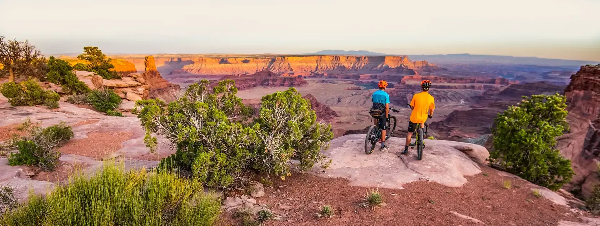
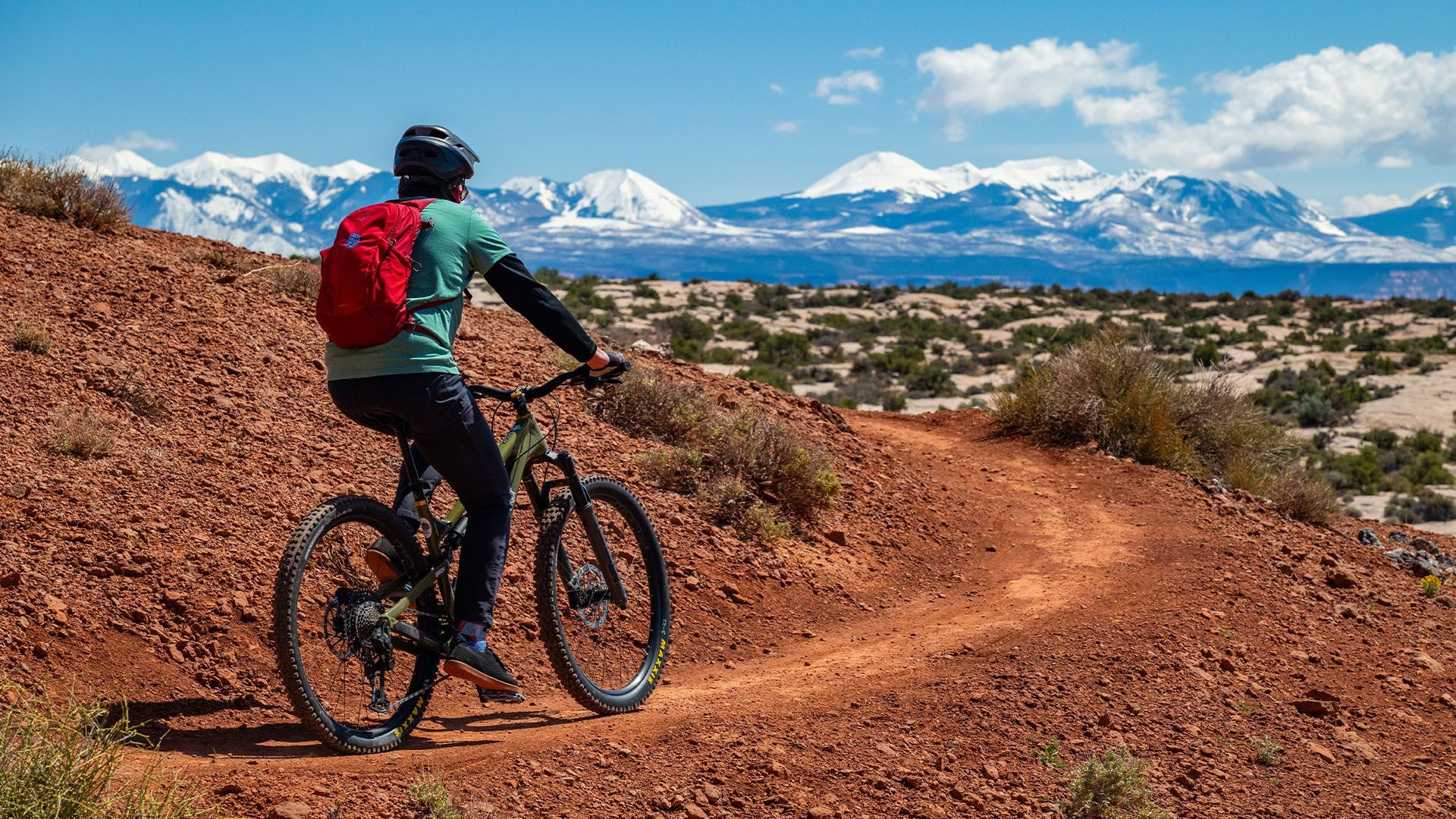
Dead Horse Point: Intermediate
- Best for: Beginner to Intermediate riders
- Iconic Trails: Big Chief (4.2 miles, Intermediate) Great Pyramid (3.0 miles, Beginner)
- Available as a Guided Tour
Need to Know: State Park fee required. One of the most scenic biking areas in Moab with easier terrain, and e-bike friendly too.
Mag 7 (5) Trails: Difficult
- Best for: Intermediate to Advanced riders
- Iconic Trails: Getaway, Bull Run, Arth's Corner, Great Escape, Little Canyon, Gold Bar, *Portal Trail
Need to Know: Shuttle drop recommended. The Mag 7 trail system connects a series of slickrock and singletrack trails descending through the Gemini Bridges area. Gold Bar and Portal Trail are not recommended due to extreme exposure on cliff faces. (The Mag 5 is still an impressive ride).
Klonzo Trails: Intermediate
- Best for: Beginner to Intermediate riders
- Iconic Trails: Gravitron, Carousel, Zoltar, VertiGo, Redhot, Wahoo
Need to Know: Located north of Moab off Willow Springs Road, Klonzo offers a fun mix of flowy singletrack, playful slickrock, and creative trail features. Designed in stacked loops, it’s easy to adjust your ride length. Great for families or groups with mixed skill levels. E-bikes are allowed on designated trails—check current maps for details.
Amasa Back Trails: Advanced
- Best for: Advanced to Expert riders
- Iconic Trails: Hymasa (advanced), Captain Ahab (expert)
Need to Know: Technical climbs, exposed ledges, and jaw-dropping views define this iconic Moab ride. Not for beginners. Expect ledgy slickrock, tight switchbacks, and white-knuckle descents. No fee required. E-bikes not allowed. Ride the loop counterclockwise via Hymasa up and Captain Ahab down for the classic experience.
Klondike Bluffs: Intermediate
- Best for: Beginner to Advanced riders
- Iconic Trails: Dino Flow, Alaska, Homer, Mega Steps, EKG, Jurassic
- Available as a Guided Tour
Need to Know: A sprawling trail system north of Moab with something for everyone. Dinosaur tracks, slickrock slabs, and stunning views make it unforgettable. No fee required. E-bike friendly on most trails. Bring a map or app—trail intersections are frequent.
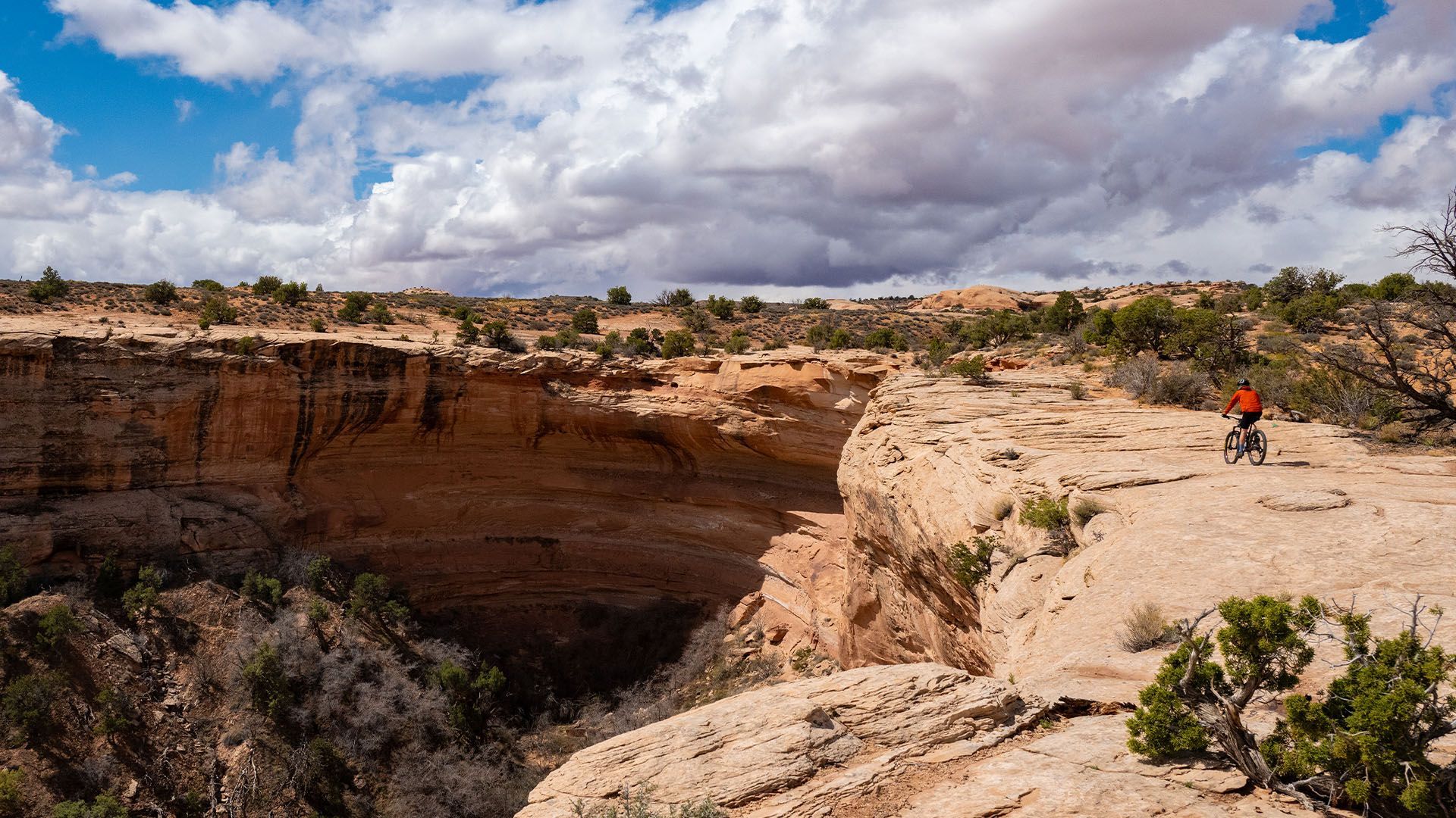
Bartlett Wash/Jedi: Intermediate
- Best for: Intermediate to Advanced rider
- Iconic Trails: Bartlett slickrock (variable ride-your-own-line)
Need to Know: A natural slickrock playground with no defined trail—ride wherever your skills and imagination take you. Difficult access E-bikes discouraged due to terrain sensitivity. Bring grippy tires and a sense of adventure.
White Rim Trail: Intermediate
- Best for: Advanced endurance riders
- Iconic Trails: White Rim Road Loop (100+ miles, Advanced, Multi-Day)
Need to Know: Permits and park fees required. A legendary multi-day ride through Canyonlands National Park with unmatched views of towering cliffs, desert mesas, and the winding Green and Colorado Rivers. Most ride it over 3–4 days with a support vehicle for gear and water. Requires careful planning, but rewards with a true backcountry biking epic.
Moab MTB Vacation Planning
A few logistics to consider:
- Car Rentals & Bike Transport – If you're flying in, note that most rental cars are not equipped to handle bikes or hitch racks. Don’t assume - always double-check before you arrive. If you didn’t bring your own vehicle with a rack, trunk-mounted racks are available locally (Poison Spider Bicycles is a go-to).
- Trail Shuttles – Some of Moab’s best trails finish miles from where they start. Several companies run shuttles, but timing the drop-off and return takes planning and confidence.
- Guided Mountain Bike Tours – The stress-free option. Expert guides handle the gear, the shuttle, and the trail plan. You just show up, ride, and soak in the red rock magic.
See mountain biking tour options.
Moab: A Mountain Biking Mecca
While the National Parks were still relatively empty, and the mining boom was all but forgotten by the early 1980’s, a new and unexpected renaissance was about to hit the hills of Moab. An entirely new sport called “mountain biking” marked the beginning of a Moab’s modern reputation as the “Adventure Capital of the West”.
Mountain biking was pioneered in Marin County and Crested Butte, but Moab, Utah was the place where mountain biking sparked public imagination. It was a clever ploy by Hank Barlow to launch the first issue of “Mountain Bike Magazine” with photography of people riding the new pedaled contraptions on the rolling slickrock hills with red rock cliffs and blue skies blazing in the background - a cue taken from film director John Ford perhaps? It worked; and the rest is mountain biking history.
Guided Mountain Biking Tours in Moab
The perfect desert ride for beginners: Ride easy dirt trails with sweeping views of red rock country and glimpses of Arches on the horizon.
- Duration: ~4.5 hrs
- Departures: Varies
- Season: Mar - Nov
ADULTS 13+
$145
YOUTH 7-12
$145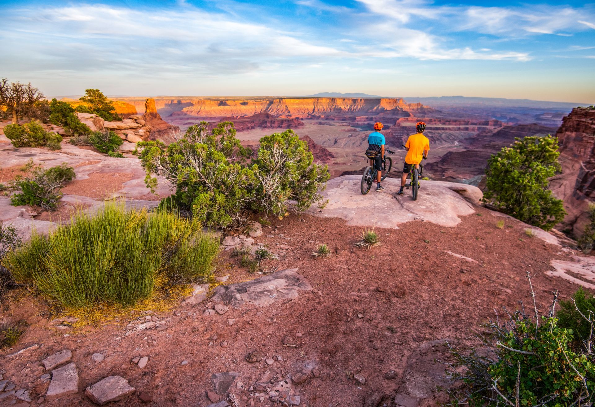
Ride to the edge of the world: Flowing singletrack, red rock rollers & jaw-dropping canyon overlooks on this intermediate 9-mile ride at Dead Horse Point State Park.
- Duration: ~4.5 hrs
- Departures: Varies
- Season: Mar - Nov
ADULTS 13+
$145YOUTH 12
$145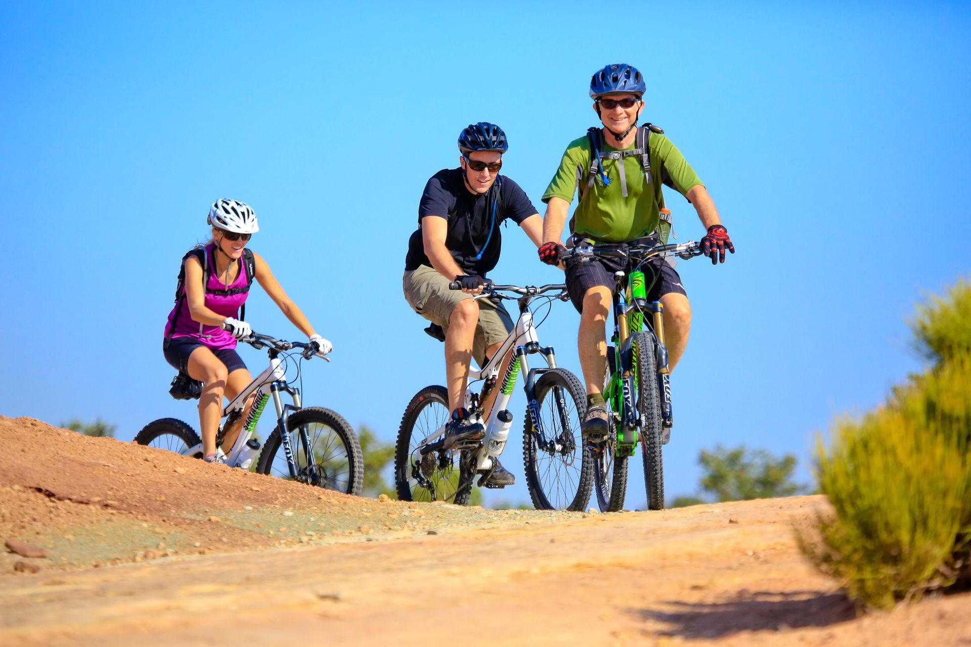
Pedal into Moab’s prehistoric past: Sustained slickrock climbs, fast descents & views of dino tracks and Arches National Park on this intermediate e-bike tour.
- Duration: ~4.5 hrs
- Departures: Varies
- Season: Mar - Nov
ADULTS 13+
$195YOUTH 12
$195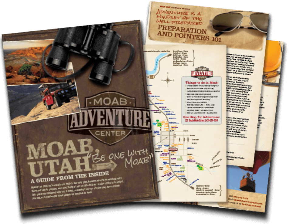
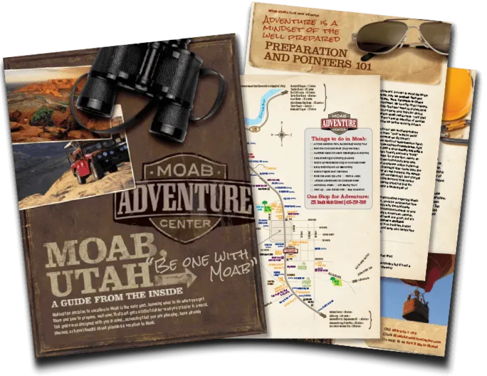
GET THE FREE MOAB INSIDER'S GUIDE!
Join our Moab Insider Email Series
and get our free Moab Insider's Guide
. It's your shortcut to where to stay, can't-miss adventures, recommended restaurants, hidden gems, and how to make the most of Arches & Canyonlands. Real local tips, easy itineraries, and expert advice so you can plan less and experience more
.
BECOME A MOAB INSIDER
With our Moab Insider's Gide and email series, you'll get local tips on the best dishes at restaurants, hidden adventures that most people miss, tips on when to visit, and a few more secrets on the side. Get all the essentials for the perfect Moab experience.
Free. Instant download. Unsubscribe anytime.
⭐️⭐️⭐️⭐️⭐️ 7,000+ 5-Star Reviews | 22-Time Best of State Winner