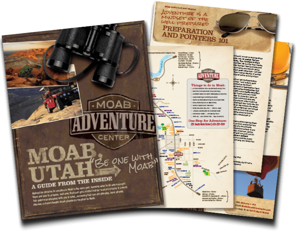
MOAB, UTAH

Scenic Drive: The La Sal Mountains Loop
Overview
This beautiful scenic drive that climbs in elevation, has incredible views over the Moab Valley and Canyonlands National Park. Touring up through the alpine evergreens and aspens, various trailheads can be accessed. While driving, visitors will find routes to La Sal Mountain Pass, Geyser Pass, Oowah Lake, Warner Lake and down to Castle Valley. Moab and the surrounding area can get unbearably hot during the peak of summer; so many locals and visitors like to head up to the mountains to cool off.
Quick Drive Summary
Distance: 60-mile loop (begins and ends in Moab)
Drive Time: 2.5–4 hours round trip with stops
Road Type: Fully paved mountain road with some dirt roads to lakes and campgrounds
Highlights: Ken’s Lake, Oowah Lake, Warner Lake, Castle Valley,
Colorado River Byway 128
Best Time: Late spring through fall; early morning or late afternoon for cooler temperatures and dramatic light.
Road Closures: Check for seasonal road closures or construction with the Forest Service.
Getting There
Begin south on Highway 191 and look for signs to Ken's Lake
- Head south from Moab on U.S. 191
- Turn left on "Ken's Lake Cutoff"
- Take a right on La Sal Loop Road and climb toward higher elevations
- If you take the route clockwise, you will head to the township of Castle Valley via Hwy 128
Top Stops on the La Sal Loop Road
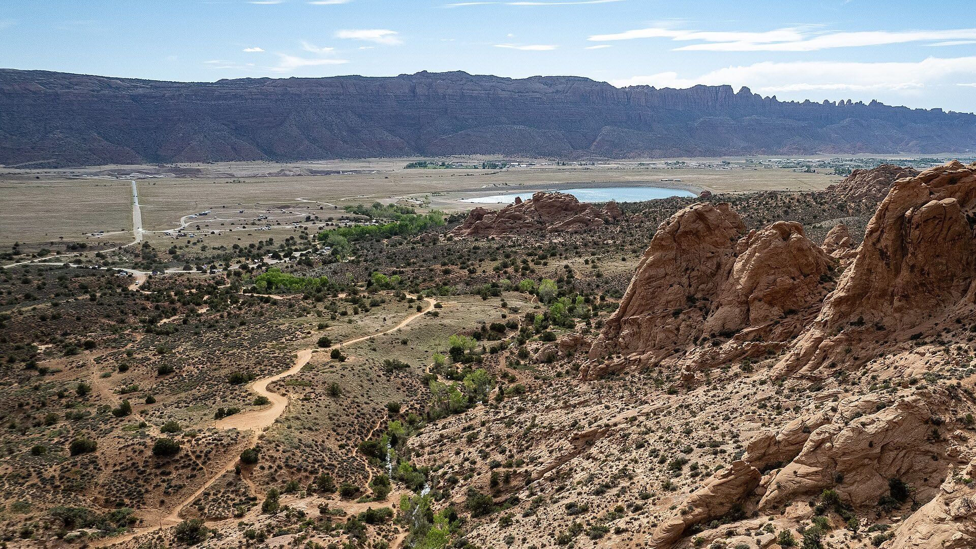
Ken’s Lake
Heading south of Moab on Highway 191, take a left turn towards Ken’s Lake and the La Sal Mountain Loop Road. Take a stop at the Lake or continue past the Ken’s Lake turnoff and forward to the La Sal Loop Road.
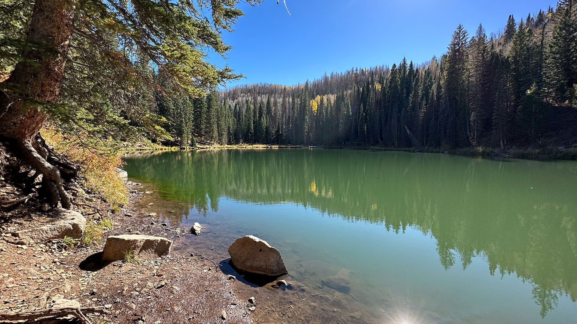
Oowah Lake
Once finished at Mill Creek, continue a half mile down the road to the Oowah Lake turnoff. A washboard dirt road will take you up to the majestic mountain lake and campgrounds. Take some time to have a picnic and fish or hike around the lake; surrounded by thick woodland areas.
Warner Lake
Approximately two miles beyond the Oowah Lake turnoff, you'll find the Warner Campground turnoff. A moderate drive on a dirt road past beautiful meadows and aspen groves will lead you to the Warner Lake Campground. A short walk on a dirt path will take you to the small and charming Warner Lake. Take a chair and book and read lakeside while enjoying the sounds of nature around you. Return down the same dirt road you came on to get back to the La Sal Loop.
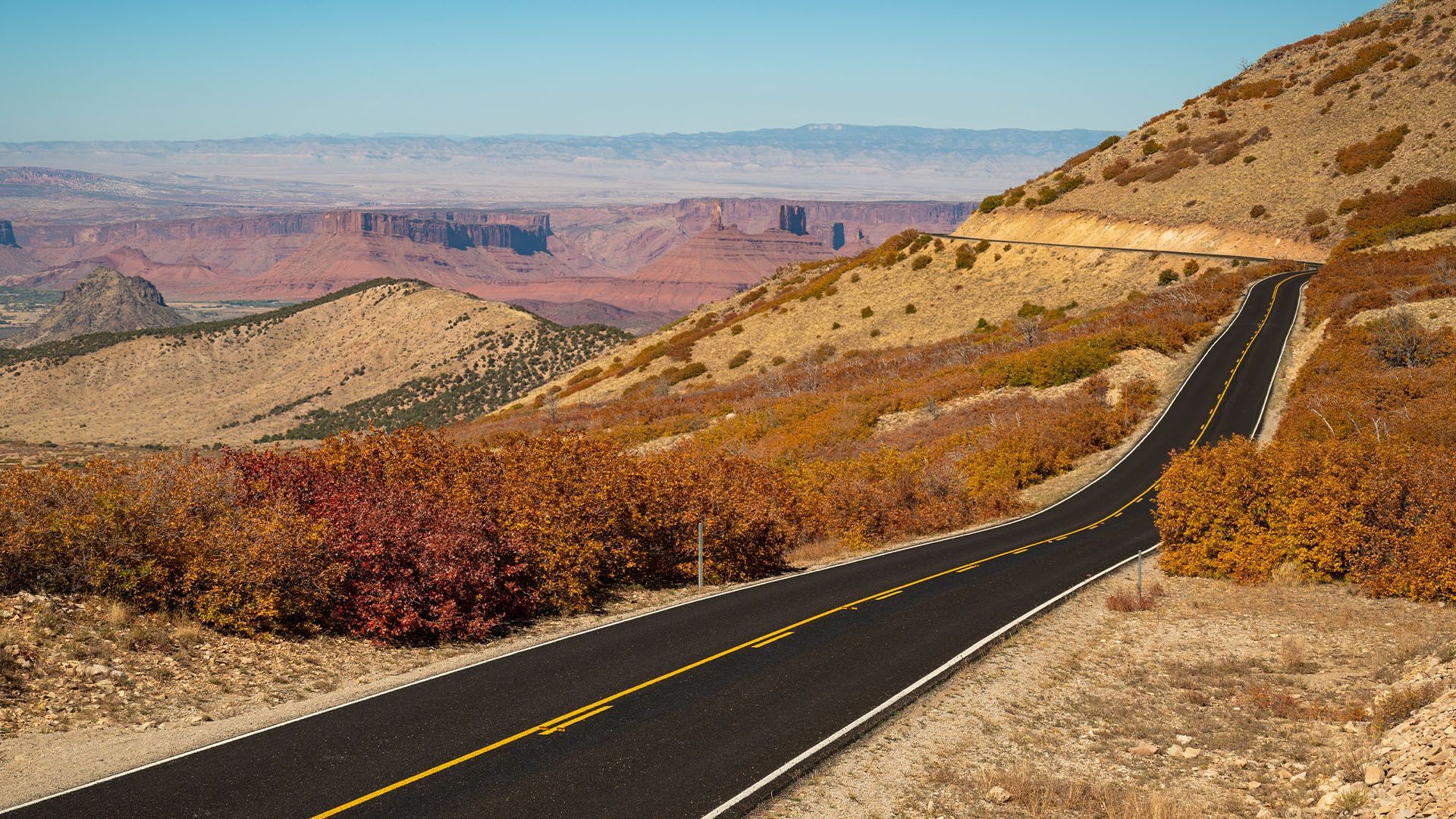
LaSal Lookout Point
Continuing down the loop road, you will start to notice the desert plants and wildlife returning as you slowly make your way back down to the sandy desert floor; but before making the full descent down the switchbacks, take the opportunity to pull over at one of the large shoulders on the road to enjoy the incredible view over the Moab area. Views reach out into Canyonlands and the outlines of the different mesas carved into the landscape paint a panoramic view like you’ve never seen before.
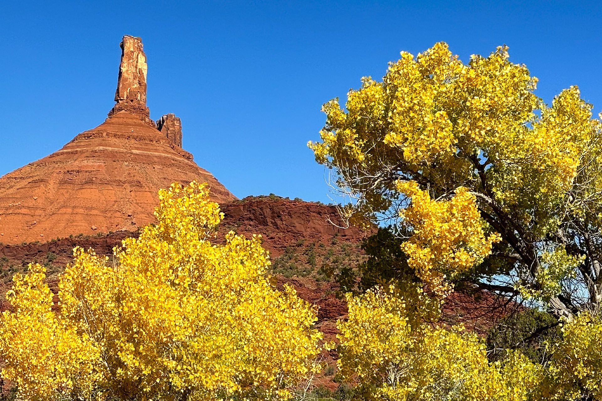
Castle Valley & Highway 128
After a swirling descent down the switchbacks, you will find yourself in the delicate yet powerful Castle Valley. Continue on through the valley on the loop road. Eventually, you will come to the junction of Highway 128. Turning left, make your way down past Red Cliffs Lodge (a great spot for dinner if the timing is right), riverside campgrounds, and matrimony springs; back into the beautiful town of Moab.
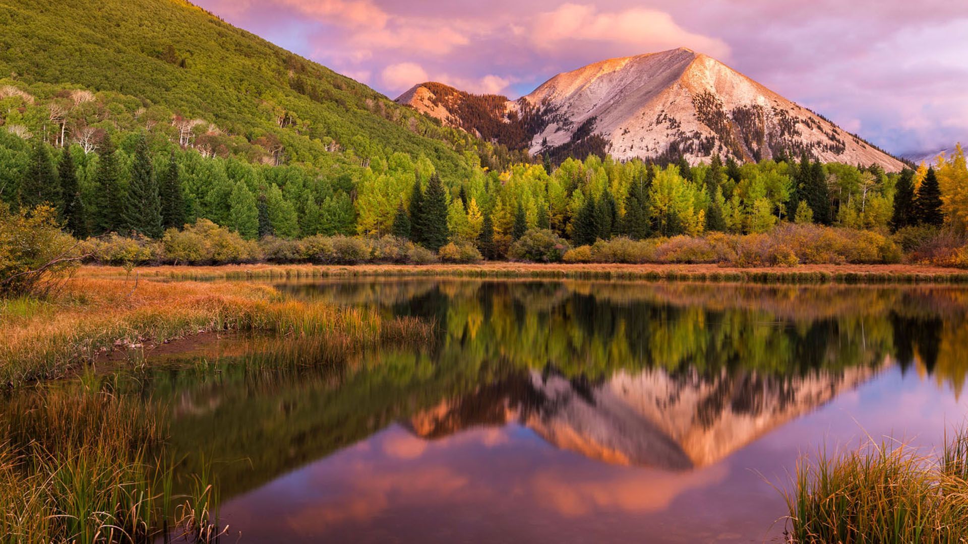
A Scenic Loop Above the Rest
The La Sal Scenic Loop offers a striking contrast to Moab’s desert landscape, winding from red rock canyons into cool alpine forests. Starting near Spanish Valley, the road climbs past views of Castle Valley and the towering sandstone of Castleton Tower. Higher up, you’ll pass through groves of aspen and pine near Oowah Lake, Warner Lake, and Geyser Pass. In fall, the foliage is spectacular. Descending toward the Colorado River, the loop reconnects with Scenic Byway 128, completing one of the region’s most diverse and rewarding drives.

See More with a Guided Tour
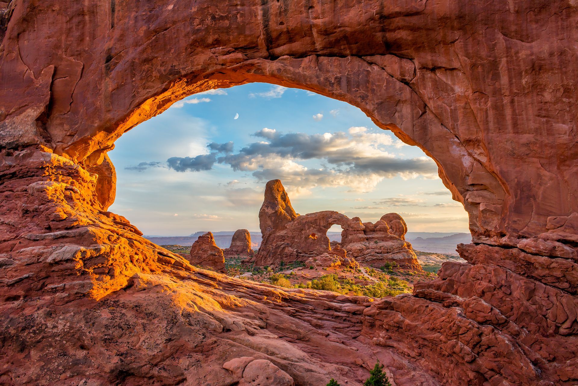
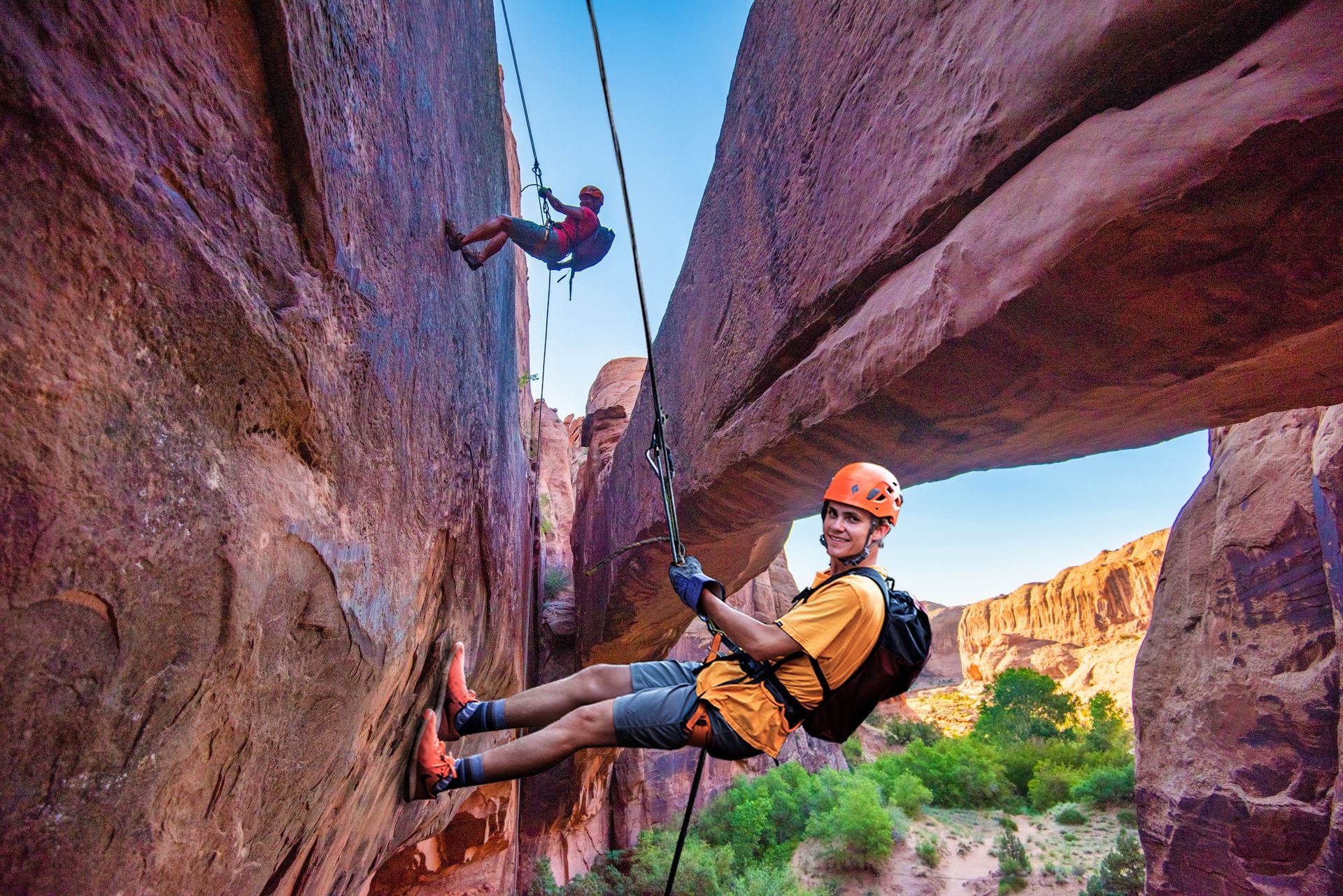
Driving the La Sal Mountain Loop is a stunning way to experience Moab’s landscape from desert floor to alpine forest—but it’s just the beginning. To see even more of what makes this region unforgettable, join one of our expert-led adventures. From Arches National Park Tours that reveal the area’s most iconic formations to Hummer Safaris that climb the famous red rock fins, and Colorado River Rafting Trips that wind through towering sandstone canyons, each tour offers a unique perspective on Moab’s incredible terrain.
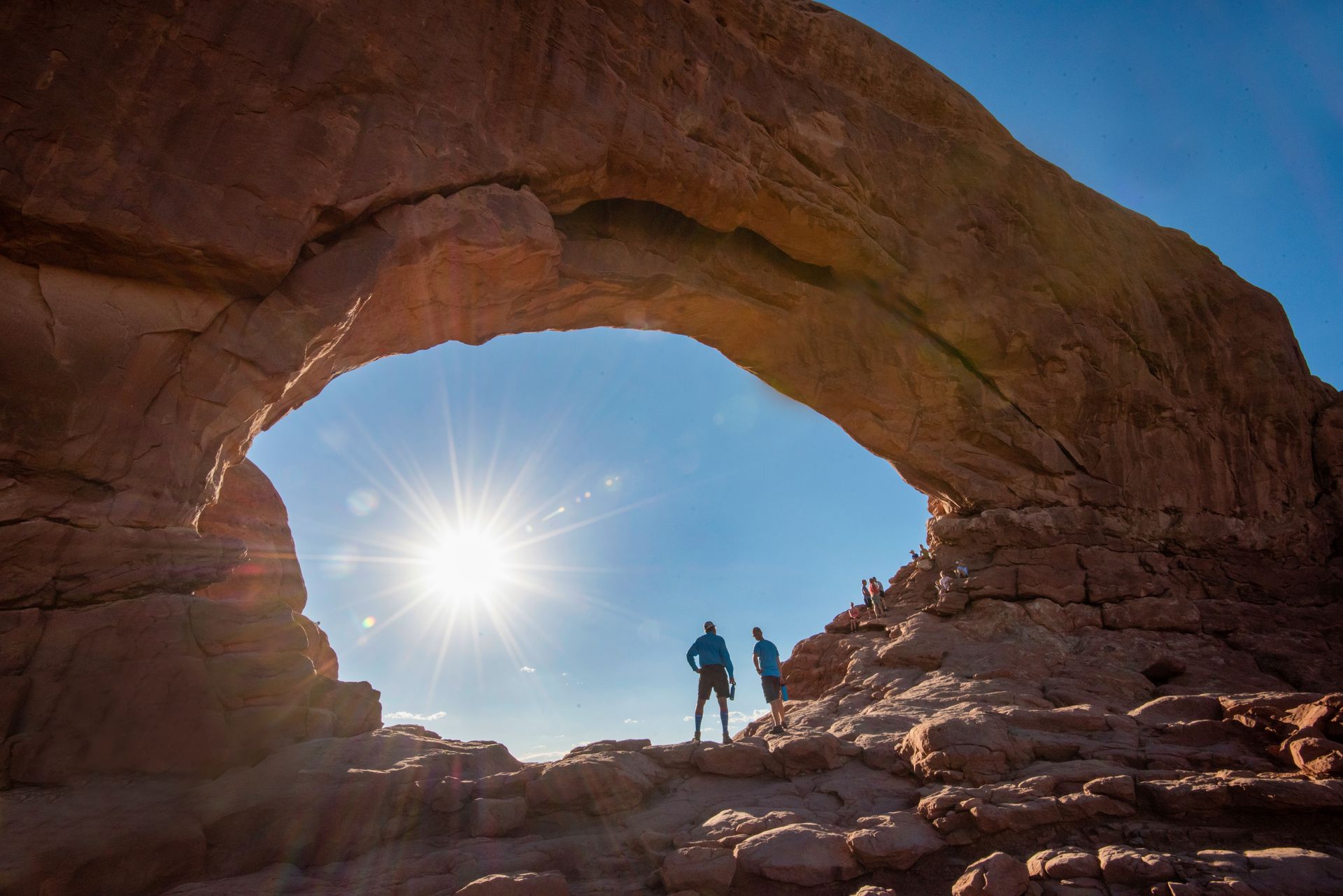
VIP access to Arches National Park: Expert guides, iconic sights, & mantle-worthy family photos without the hassle of parking or missing key sights.
- Duration: ~4 hrs
- Departures: Morning
- Season: Year Round
ADULTS 13+
$125
YOUTH 5-12
$105
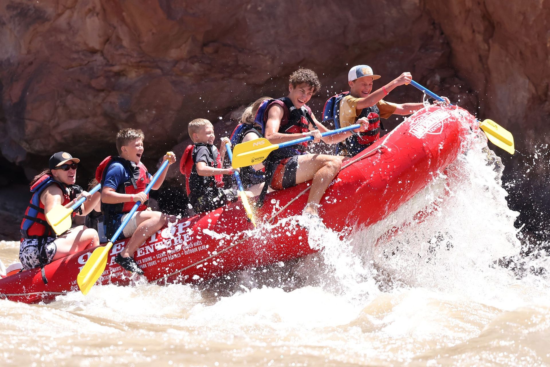
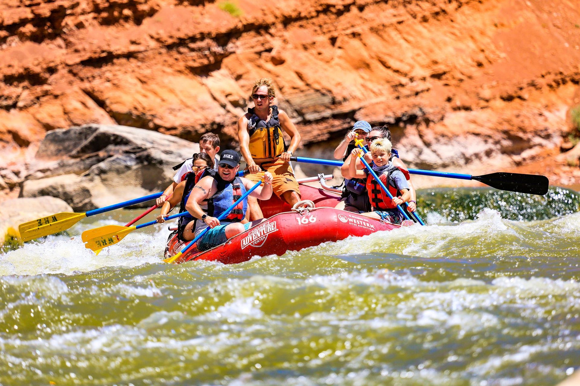
Colorado River adventure for all ages: Stunning canyons, famous Castle Valley, easygoing rapids, delicious riverside BBQ, and stories you’ll tell long after you dry off.
- Duration: ~7 hours
- Departures: 9:00 am Mon-Sat
- Season: Mar – Oct
ADULTS 13+
$155
YOUTH 5-12
$130
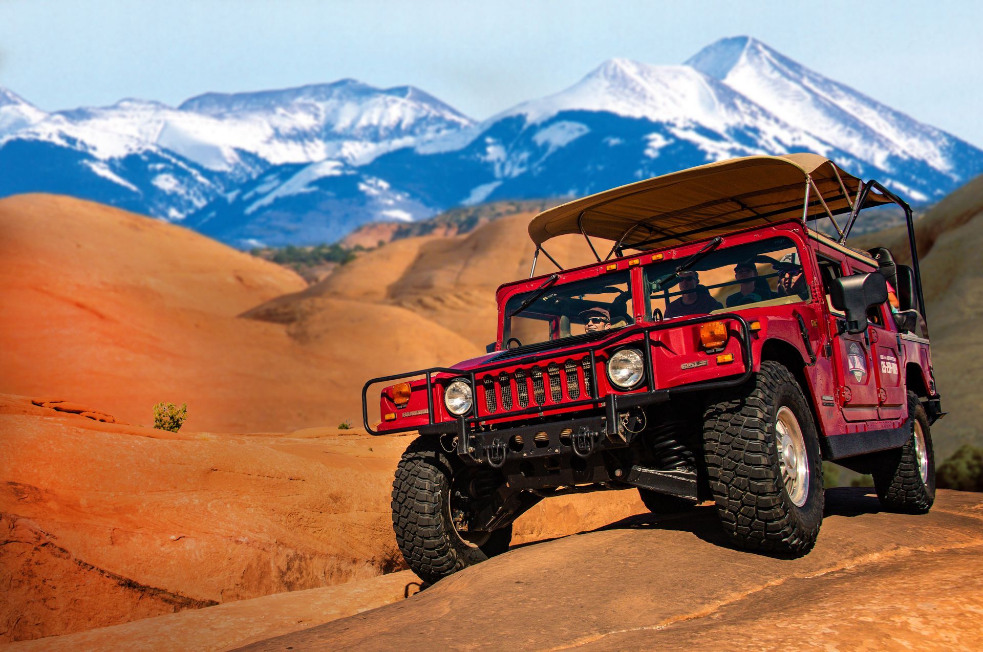
Moab’s wildest sunset: Steep climbs, unreal views, and golden-hour thrills on our most popular off-road adventure at the perfect time of day.
- Duration: ~3 hours
- Departures: Evening
- Season: Feb – Nov
ADULTS 13+
$145
YOUTH 5-12
$125
GET THE FREE MOAB INSIDER'S GUIDE!
Join our Moab Insider Email Series
and get our free Moab Insider's Guide
. It's your shortcut to where to stay, can't-miss adventures, recommended restaurants, hidden gems, and how to make the most of Arches & Canyonlands. Real local tips, easy itineraries, and expert advice so you can plan less and experience more
.
BECOME A MOAB INSIDER
With our Moab Insider's Gide and email series, you'll get local tips on the best dishes at restaurants, hidden adventures that most people miss, tips on when to visit, and a few more secrets on the side. Get all the essentials for the perfect Moab experience.
Free. Instant download. Unsubscribe anytime.
⭐️⭐️⭐️⭐️⭐️ 7,000+ 5-Star Reviews | 22-Time Best of State Winner