MOAB, UTAH

Canyonlands National Park: Ultimate Visitor's Guide
Discover the Districts and Top Attractions in Canyonlands
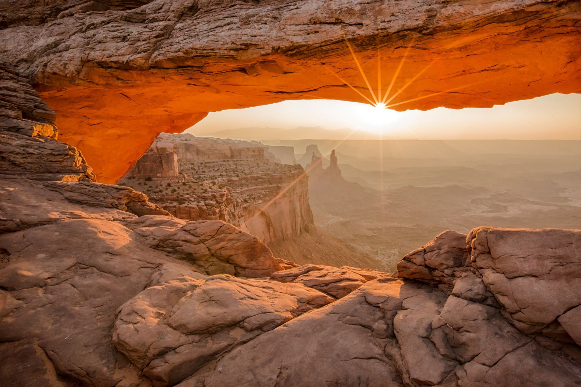
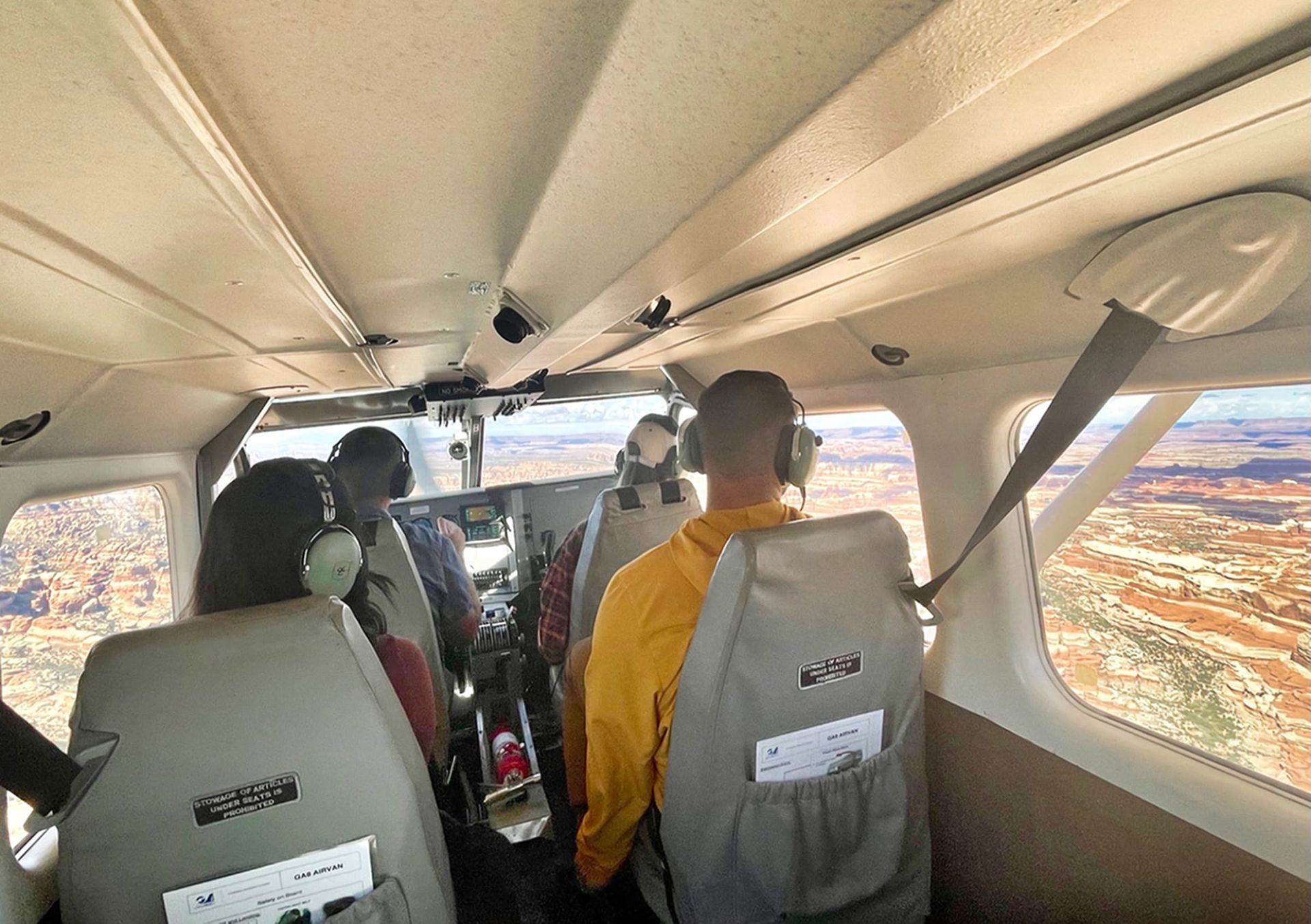
Canyonlands National Park is a vast red rock wilderness in southeastern Utah, just outside Moab. The park is divided into four distinct districts—Island in the Sky, the Needles, the Maze, and the Rivers where the Colorado and Green converge. Each district has its own entrances, maps, viewpoints, and must-see attractions. Most visitors begin in Island in the Sky for panoramic views from Grand View Point or Mesa Arch. The Needles district, an hour south of Moab, offers paved roads and its own visitor center. The Maze district is accessible only by 4x4 and suited for the hardy. The White Rim Trail challenges off-road enthusiasts as it traces a route between Island in the Sky and the Rivers. Given the park’s size and remoteness, many travelers choose to combine a river journey with a scenic airplane flight — one of the most unforgettable ways to see Canyonlands.
Canyonlands National Park Quick Links
Districts of Canyonlands
The only paved roads with classic National Park entrances are the Island in the Sky District north of Moab and the Needles District to the south of Moab. You will find curated Park Service Visitor Center information in those locations.
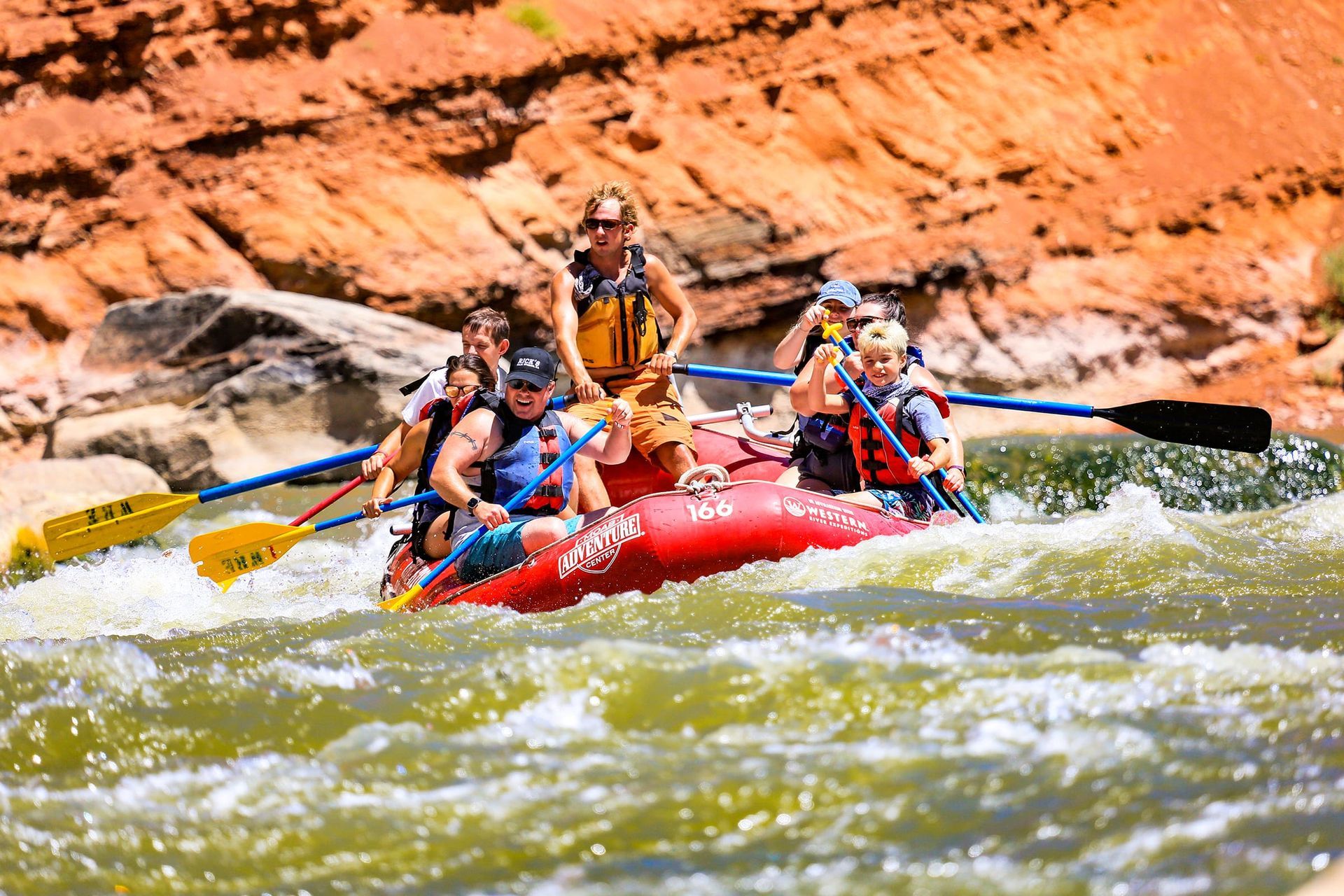
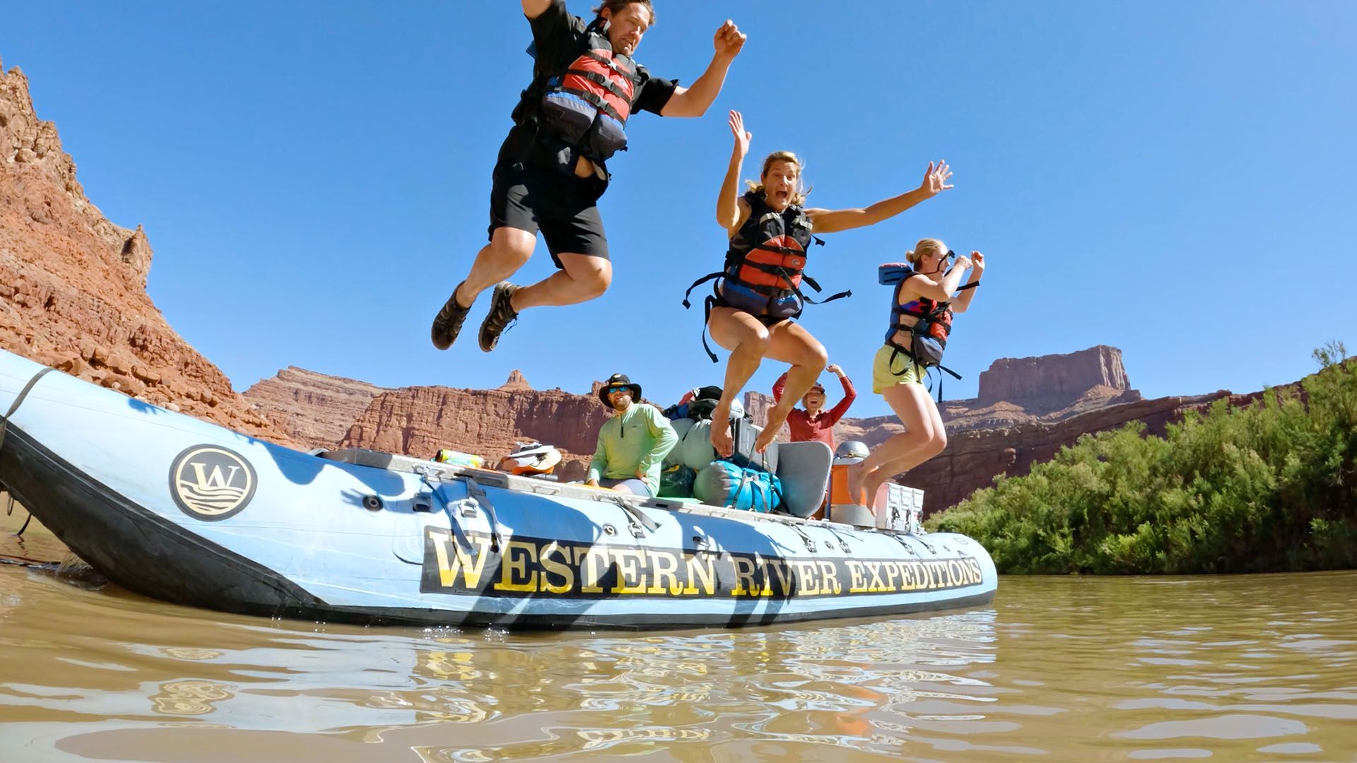
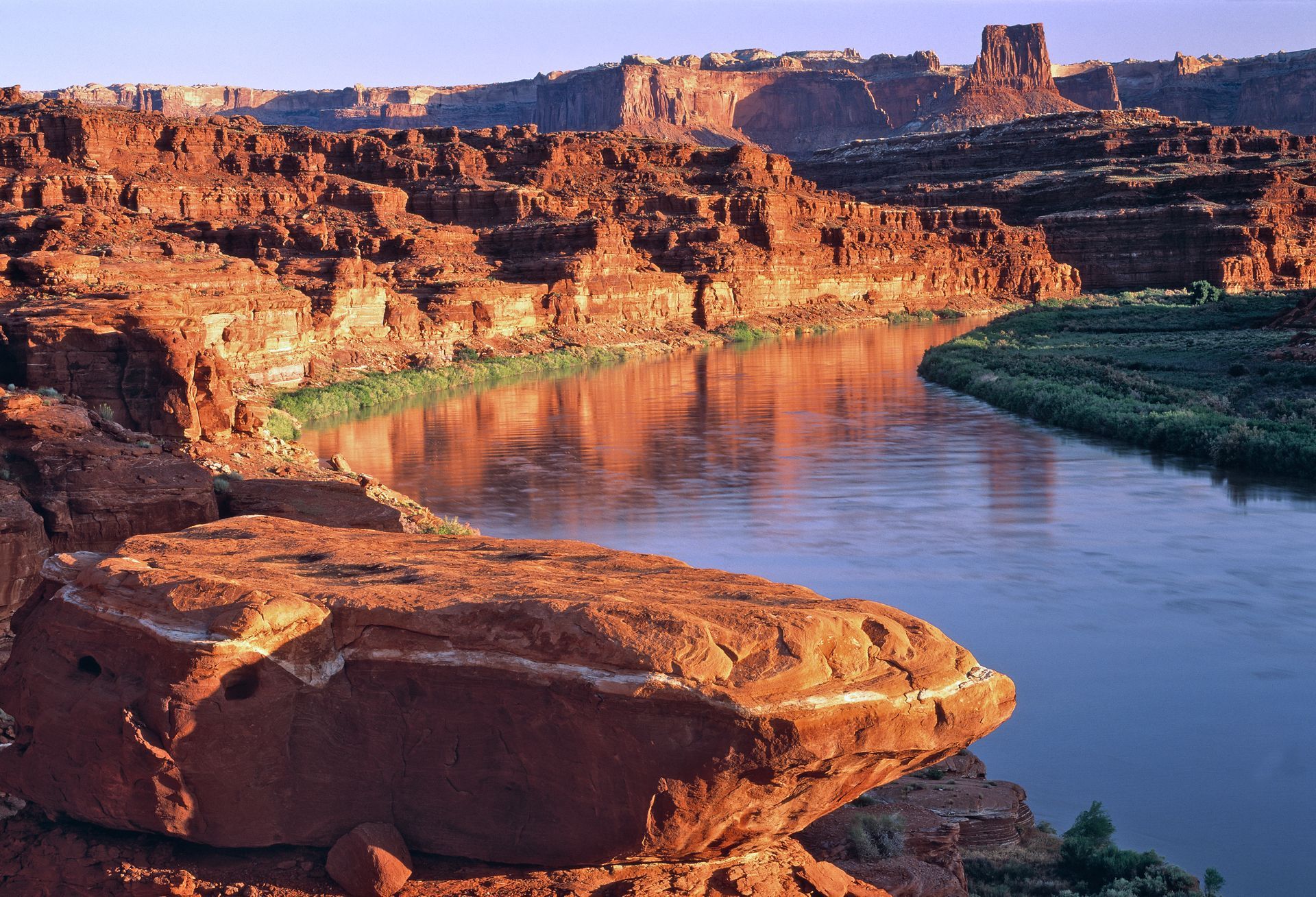
The River District extends from Moab (Potash Boat Ramp) to the headwaters of Lake Powell some one-hundred miles downstream. The Green River and the Colorado River converge, making up the overall "rivers" district. Overnight and multi-day rafting trips guide you through the River District through the heart of Canyonlands National Park.
The Maze District can be accessed in part via a hike from the river at Spanish Bottom, or over rough 4x4 roads entering the park boundary from the west, near Lake Powell and Hanksville, Utah.

Canyonlands National Park Tours
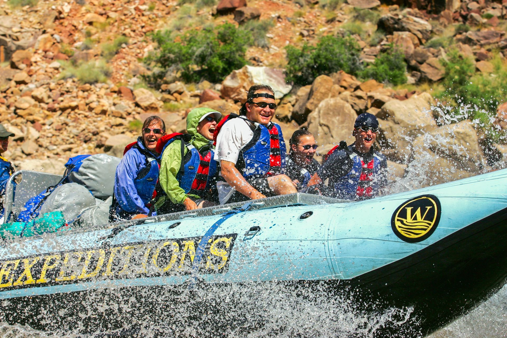
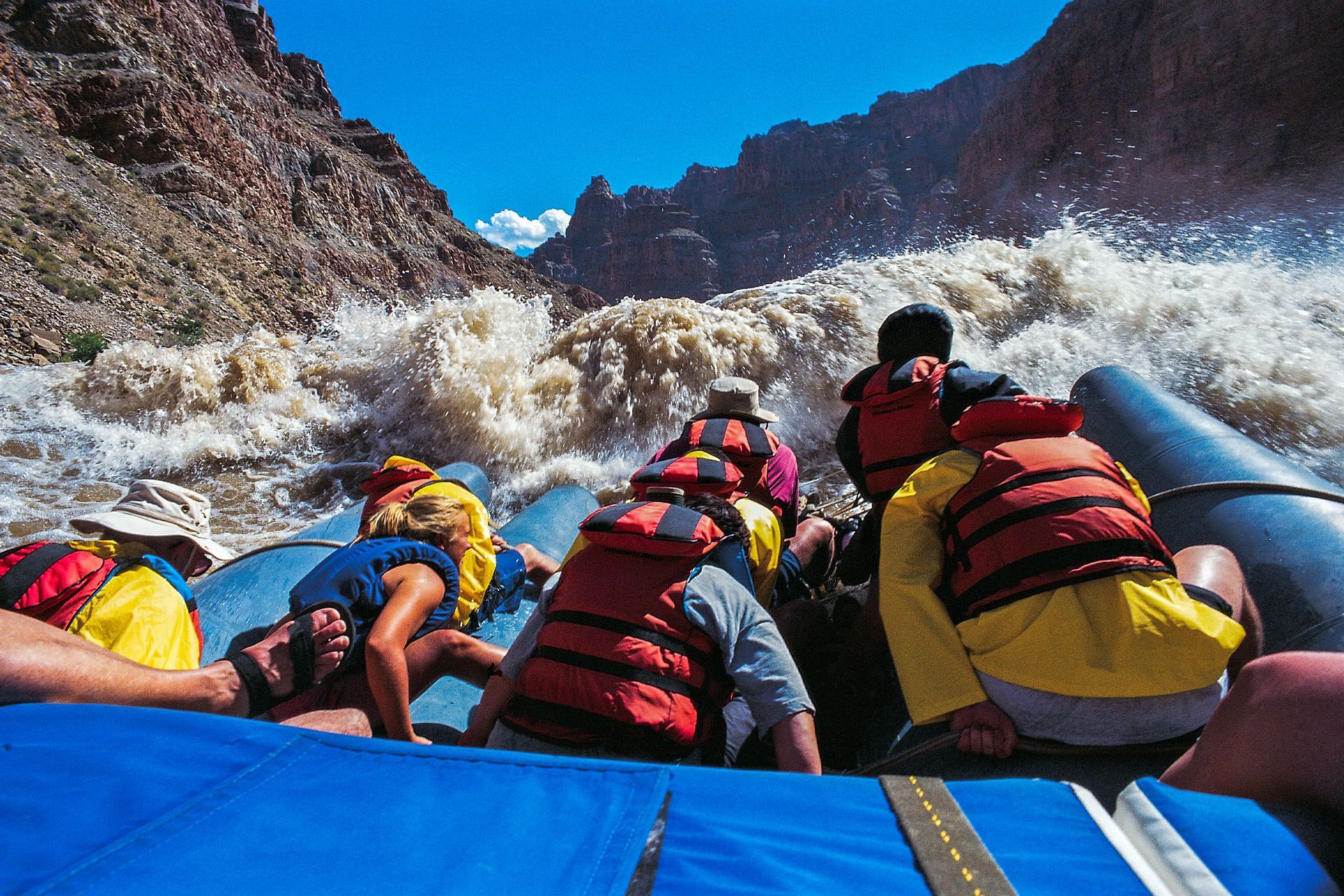
One of the best things to do in Moab is go white water rafting in Canyonlands National Park on the Colorado River through Cataract Canyon. You'll drift past each of the four districts over 100 miles of the River District, and then see all four districts from the air with a return scenic flight over Canyonlands National Park.
Renting a Jeep and descending the Shafer Trail is also a pretty fun way to get familiar with the vastness of Canyonlands National Park
Driving to Canyonlands Overlooks
Driving into Canyonlands National Park reveals endless mesas, deep canyons, and wide-open skies that seem to stretch forever. Paved roads in Island in the Sky and the Needles lead to spectacular overlooks and trailheads, while rugged 4x4 routes like the White Rim Road test even seasoned drivers. Because distances between districts are vast, plan at least a full day to truly experience Canyonlands by car.
Canyonlands Weather
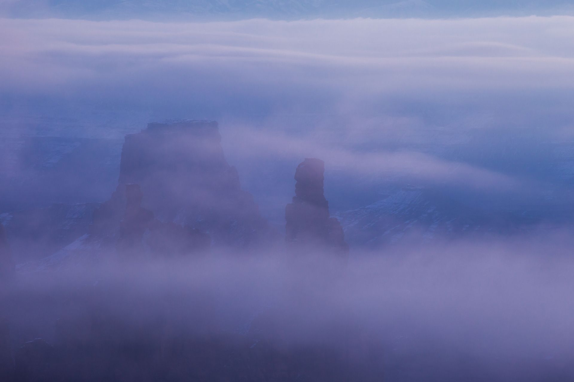
Canyonlands National Park sits in a high desert climate where temperatures can swing dramatically, even within a single day. Each district of the park has its own character, including distinct weather patterns. Summers are hot, often exceeding 100°F (38°C). Spring and fall bring short but pleasant shoulder seasons, while winter can range from cool and comfortable to freezing with snow. No matter the season, Canyonlands is always worth a visit.
Canyonland's River District
From the canyon rims, the Colorado River looks like a lazy ribbon winding through the heart of Canyonlands. Step closer and you realize it is the park’s lifeblood, formidable and powerful, yet calming and restorative for road-weary travelers. A
multi-day whitewater rafting trip on this stretch of river offers one of the most authentic ways to experience the American West. Known as
Cataract Canyon, it is widely celebrated as one of the premier rafting adventures in the country.
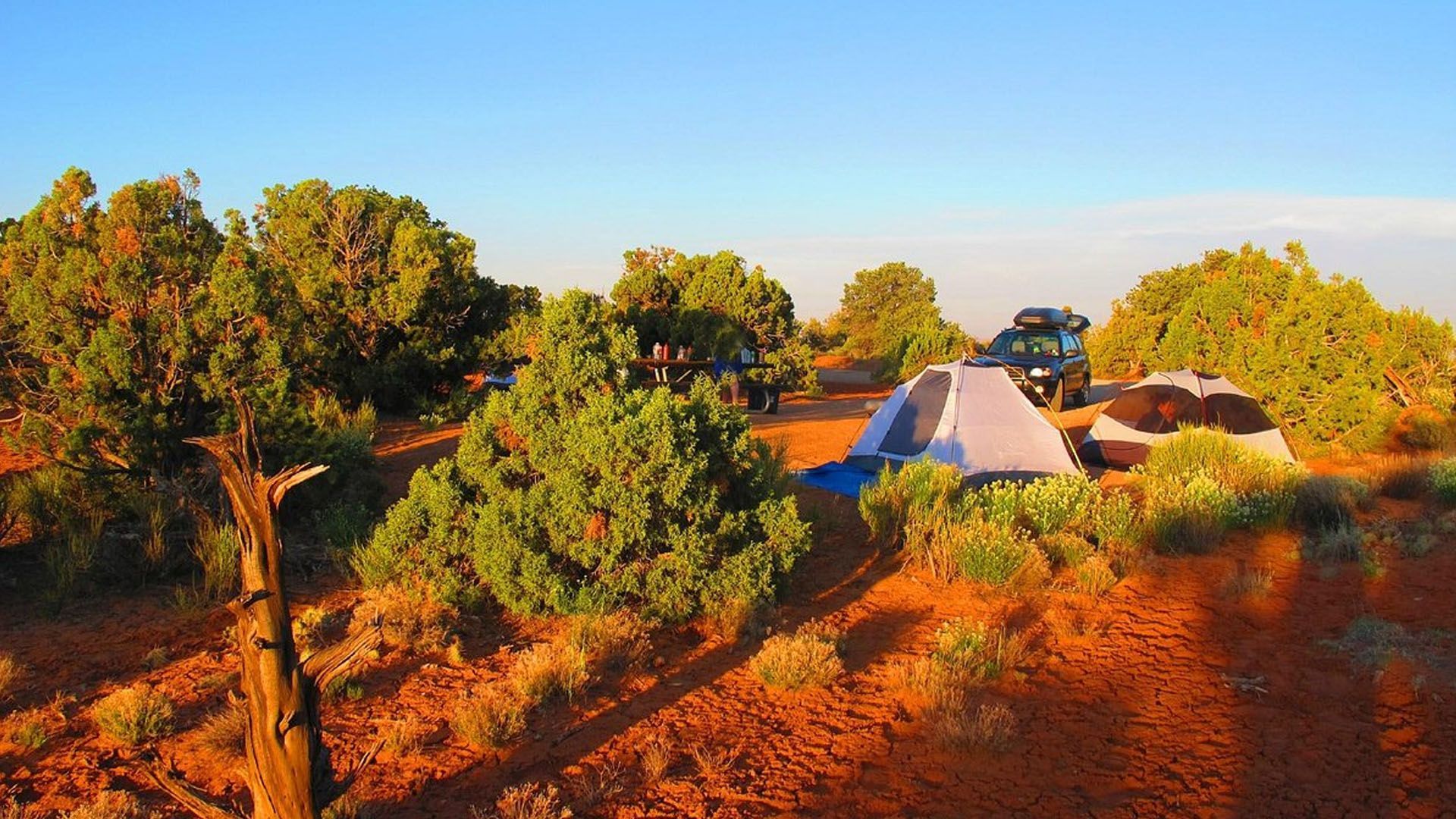
Canyonlands National Park Camping
Camping in Canyonlands is the real deal. It’s nature at its purest and most magnificent. When night falls, the silence is weighty and the night sky comes alive. Typically, unless you’re in extreme back country, the wildlife experiences are limited to the whooshing of a raven’s wings as it soars overhead, lizards, the distant sounds of coyotes howling at the sunrise, and the occasional mule deer keeping an eye on its home.

Lodging Near Canyonlands
Whether you’re hiking your heart out or just taking a scenic drive, you’ll learn that massive landscapes leave you massively tired. Knowing you have a soft pillow and a warm shower to return to will be what makes a glorious day a perfect success. Make sure to get familiar with the
lodging options near Canyonlands National Park, so you can make the right choice for resting your weary head.
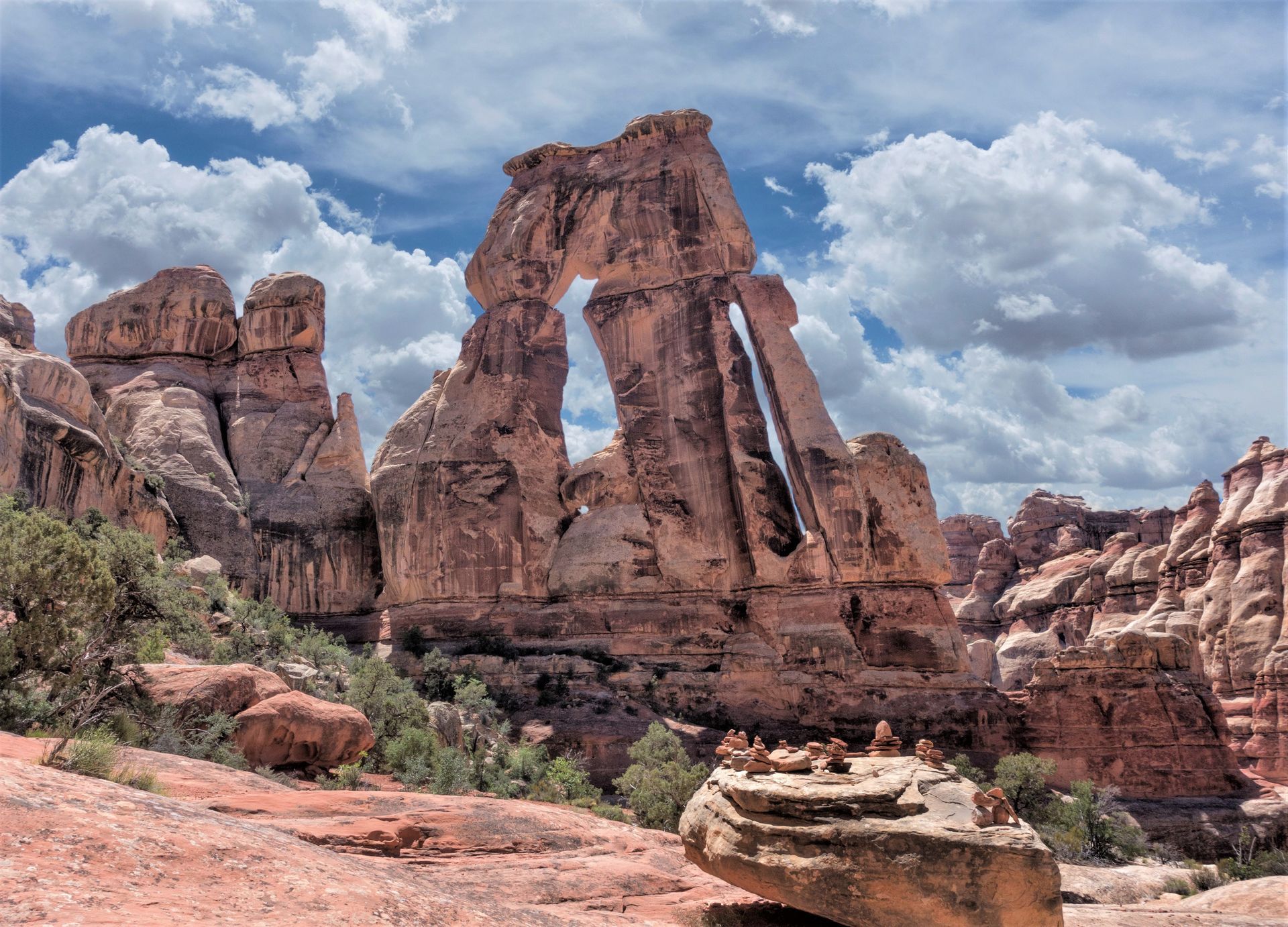
Best Hikes in Canyonlands
Even if you’re a frequent visitor to Moab, it would be difficult for you to complete all the hikes available in Canyonlands National Park. There are close to
forty different trails in Canyonlands, ranging from easy to strenuous, and varying in length from 1 to 45 miles!
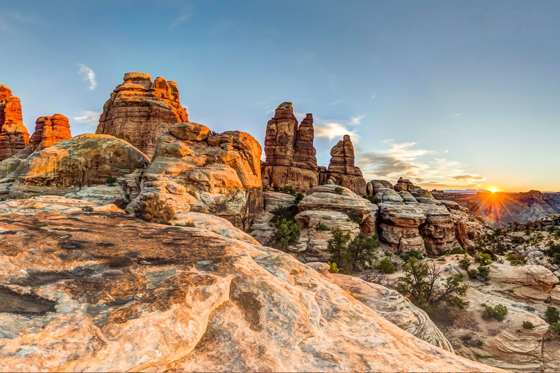
Canyonlands National Park Photos
Canyonlands National Park is like no other place; it is something spectacular to behold. Hopefully, you will get the chance to behold it in person, and that you’ll get photos to do the landscape a bit of justice. However, until you get that chance and those photos, you’re welcome to check out our professionally shot library.
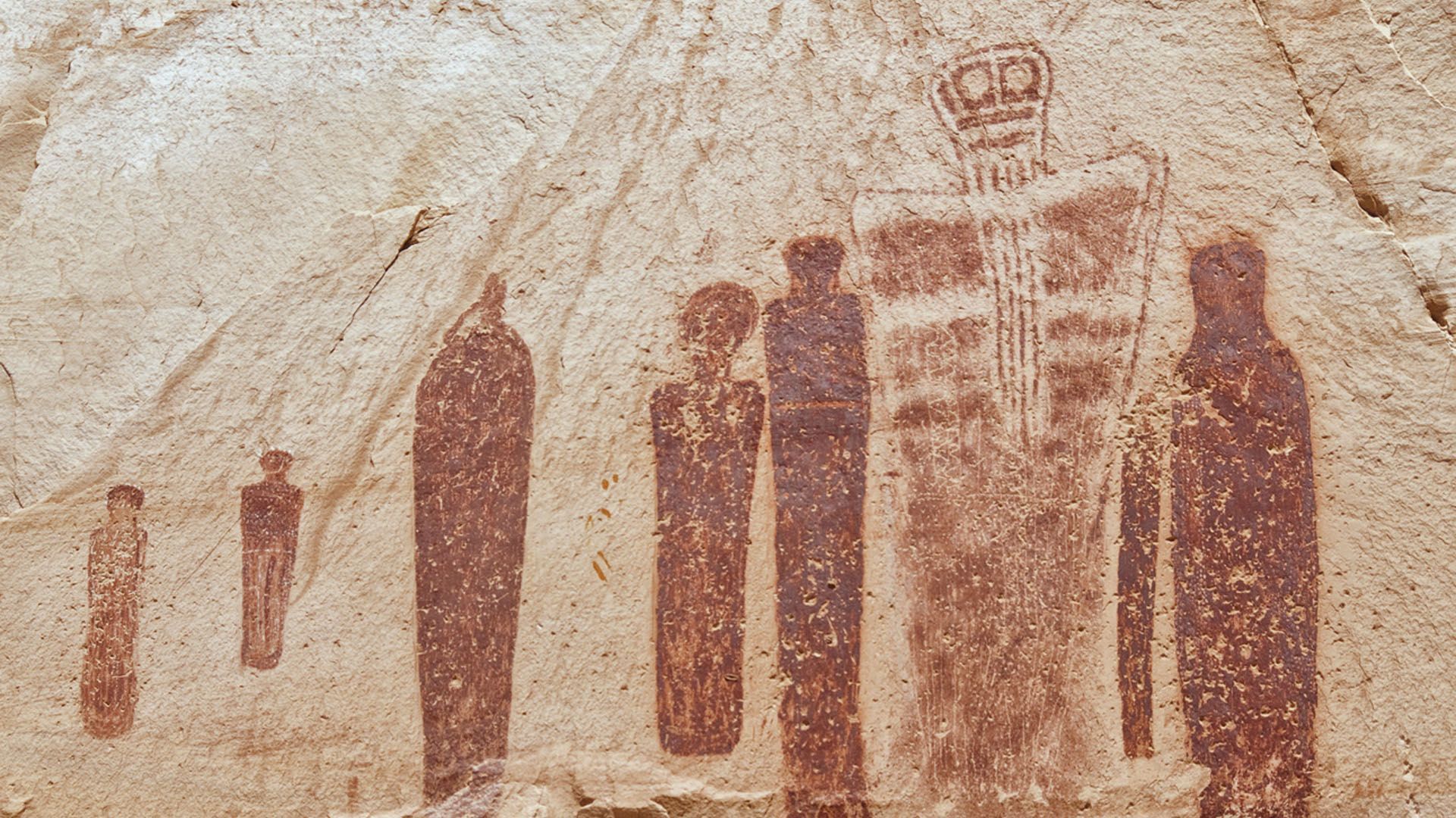
Facts About Canyonlands NP
Discover the raw beauty and rich history of Canyonlands National Park. Towering mesas, river-carved canyons, ancient rock art, and hidden arches make this a landscape where every turn reveals a story millions of years in the making. Explore the park’s most awe-inspiring features, learn surprising facts, and find helpful tips to make the most of your visit.
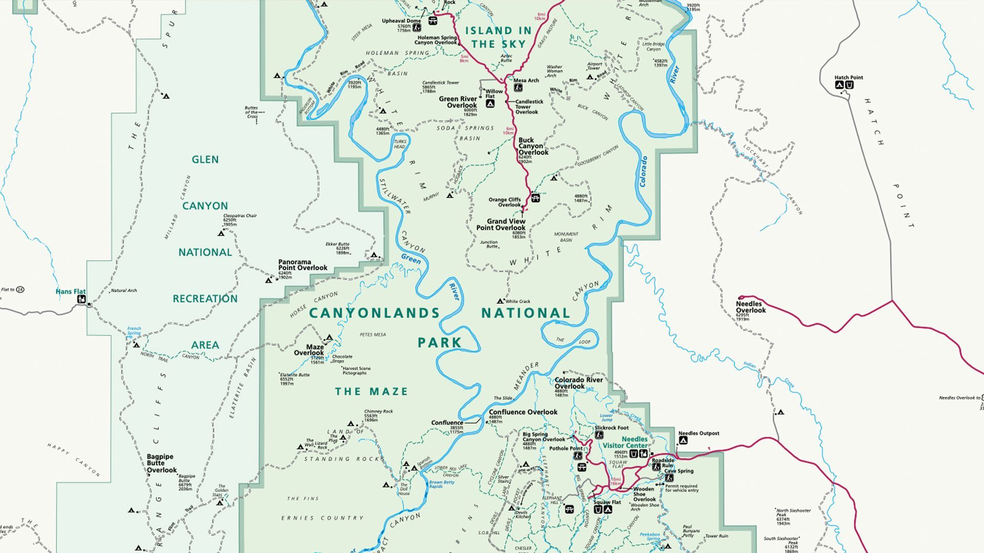
Canyonlands National Park Map
Of all the places you wouldn’t want to be caught without a map, Canyonlands National Park is one of them. Canyonlands is a place where roads (or what brave souls with 4x4s call roads) tangle for days across the wilderness, and time stands still. By "time stands still," we mean that most of Canyonlands still isn’t provisioned with cell phones or 5G. To keep you safe, we have maps you can print, fold up, and keep in your pocket.
Frequently Asked Questions
WHAT IS THE BEST WAY TO EXPLORE CANYONLANDS?
The most immersive way to experience Canyonlands is by rafting through its 100-mile-long River District, where the Colorado and Green Rivers carve the heart of the park—then flying back over all four districts for breathtaking aerial views.
WHERE DO I SEE THE MOST ICONIC OVERLOOKS OF CANYONLANDS?
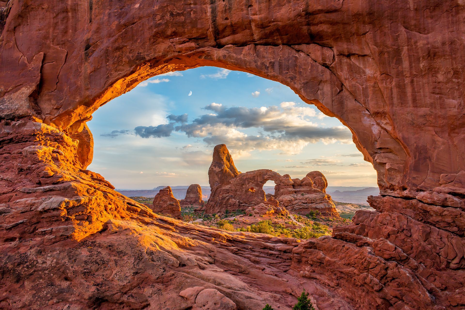
The Island in the Sky district offers the park’s most famous viewpoints, including Mesa Arch, Grand View Point, and Green River Overlook. All are easy to reach by car, making this the best starting point for first-time visitors.
WHICH ENTRANCE TO CANYONLANDS IS BEST?
Island in the Sky is the most accessible, just 32 miles from Moab. The Needles entrance is an hour south, while the Maze requires 4x4 travel from the west.
WHAT IS THE BEST TIME OF YEAR TO VISIT CANYONLANDS?
Spring (April–May) and fall (September–October) bring mild weather and fewer crowds. Summer can be hot - a clear advantage for river rafters- and winter offers solitude but limited services.
WHAT ARE THE DISTRICTS OF CANYONLANDS NATIONAL PARK?
Canyonlands is divided into four districts: Island in the Sky, the Needles, the Maze, and the Rivers (Colorado and Green). Each offers unique scenery and experiences.
WHAT ARE THE MUST-SEE ATTRACTIONS IN CANYONLANDS?
Highlights include Mesa Arch at sunrise, Grand View Point, Green River Overlook, Chesler Park in the Needles, and rafting the Colorado or Green Rivers.
CAN YOU DRIVE THROUGH THE WHOLE PARK?
No paved road connects all districts. Island in the Sky and Needles have paved access; the Maze and White Rim Road require high-clearance 4x4s.
HOW FAR IS CANYONLANDS FROM ARCHES NATIONAL PARK?
Arches and Canyonlands (Island in the Sky District) are only about 30 minutes apart by car, making it easy to visit both during a Moab trip.
Not finding what you're looking for?
Tours in Canyonlands National Park
An epic, fast-paced, 2-day journey through Canyonlands National Park with roaring rapids, deep wilderness & star-filled nights on the Colorado River.
- Duration: 2 Days
- Departures: M, W, F
- Season: May - Jul
ADULTS 16+
$1,150
YOUTH 10-15
$1,150
Journey 100 miles through remote red rock canyons with roaring whitewater & star-filled nights on this all-inclusive expedition from Moab to Lake Powell.
- Duration: 4 Days
- Departures: Weekly
- Season: Jun -Aug
ADULTS 16+
$2,050
YOUTH 10-15
$1,750
Fly deep into the wild: Remote arches, endless canyons, and stunning views you can’t reach by road—all in just one epic hour from takeoff to landing.
- Duration: ~1 hr
- Departures: 9:00 AM
- Season: Year Round
ADULTS 13+
$350
YOUTH 3-12
$350
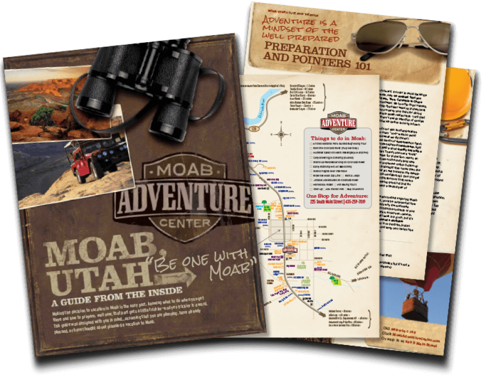
GET THE FREE MOAB INSIDER'S GUIDE!
Join our Moab Insider Email Series
and get our free Moab Insider's Guide
. It's your shortcut to where to stay, can't-miss adventures, recommended restaurants, hidden gems, and how to make the most of Arches & Canyonlands. Real local tips, easy itineraries, and expert advice so you can plan less and experience more
.
BECOME A MOAB INSIDER
With our Moab Insider's Gide and email series, you'll get local tips on the best dishes at restaurants, hidden adventures that most people miss, tips on when to visit, and a few more secrets on the side. Get all the essentials for the perfect Moab experience.
Free. Instant download. Unsubscribe anytime.
⭐️⭐️⭐️⭐️⭐️ 7,000+ 5-Star Reviews | 22-Time Best of State Winner